Yorkshire Dales National Park
Yorkshire Dales National Park/R/06/180B/LB
Rash Grange, Guning Lane, Muker, DL11 6QJ
- Reference
- Yorkshire Dales National Park/R/06/180B/LB
- Authority
- Yorkshire Dales National Park
- Application type
- Listed Building
- Address
- Rash Grange, Guning Lane, Muker, DL11 6QJ
- Postcode
- DL11 6QJ
- Status
- Under Consideration
- Received
- 26 Jan 2026
- Validated
- 5 Aug 2026
- Started
- 5 Aug 2026
- Source council
- Yorkshire Dales National Park
- Council source record
- View public record
- Public data licence
- Open Government Licence v3.0
- Record updated
- 7 Aug 2026
- SEO index generated
- 11 Aug 2026
Location
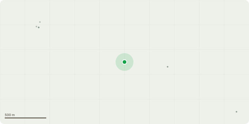
Approximate location
Proposal
Listed building consent for works to involve the restoration of two stone barn roofs using the original stone, inserting two heritage roof lights in the North elevation roof of the longhouse barn, repointing all structures on the site with lime mortar, renovation of the leaded lights in the mullioned windows using the original glass and replacement lead cames (agreed urgent works), replacing PVC guttering with cast iron guttering of a suitable 4'' half round style, install cast iron guttering where it is absent on the stone barns, replacing the early 21st century timber windows on the North elevation, whilst replacing one ground floor window on the North elevation of the house with a French window; reinstatement of the rotten timber joinery in the north elevation of the longhouse barn with oak replacements and installation of ASHP
Key dates
- Received 26 Jan 2026
- Validated 5 Aug 2026
- Started 5 Aug 2026
Planning history / related applications
No related planning applications have been identified in the current public OGL dataset.
Inside plotEdge
Go beyond the public record
This page is the public OGL record. plotEdge adds the private intelligence layer for this site - open it in the app to unlock:
- Ownership & title Registered owner and title from HM Land Registry.
- Viability & build potential Site scoring and development upside.
- Constraints Flood risk, green belt, conservation areas and designations.
- Approval signal Planning risk and approval-likelihood analysis.
- Comparable applications Decisions on similar nearby sites, side by side.
- Status alerts Get notified the moment this application changes.
Source: public planning application data from Yorkshire Dales National Park, reused under the Open Government Licence v3.0. View the council source record. Council documents and drawings are not republished on plotEdge.