Wyre Forest
Wyre Forest/24/0573/NMA
Land To The West Of Pearl Lane, Stourport -on- Severn (Ernleye Meadows) Land At Os 379658 269871 Pearl Lane Stourport On Severn Worcestershire
- Reference
- Wyre Forest/24/0573/NMA
- Authority
- Wyre Forest
- Application type
- Non-material amendment
- Address
- Land To The West Of Pearl Lane, Stourport -on- Severn (Ernleye Meadows) Land At Os 379658 269871 Pearl Lane Stourport On Severn Worcestershire
- Status
- Approved
- Decision
- Approved
- Received
- 4 Sept 2024
- Validated
- 19 Sept 2024
- Started
- 19 Sept 2024
- Decided
- 30 Oct 2024
- Source council
- Wyre Forest
- Council source record
- View public record
- Public data licence
- Open Government Licence v3.0
- Record updated
- 6 Aug 2026
- SEO index generated
- 7 Aug 2026
Location
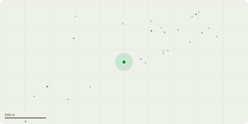
Approximate location
Proposal
Non-Material Amendment to Planning Approval 21/0031/FUL to change layout including relocation of sheds to rear gardens of all plots, bin collection points added to shared driveways of some plots, increase in window size on all plots in line with buiding regulations, change of window type to timber frames on plots (1-152 and 154-259), driveway relocated 3 metres on Plots 18/19 and 20/22 to allow for more green space, Plot 28, 50,88,94 changed from to Hemlock, visitor parking added to front of plot 70 and side of plot 121, plots 30,31,44,18,187,188 and 189 handed to suit level requirements, turning provisions added in front of plot 109 to allow for fire appliance, plot 139 moved forward approximately 1 metre to increase rear garden, shared driveway serving 165-170 reduced in width by around 1 metre to increase space from tree belt, rear garden of plot 248 amended, garages at plots 258, 259, 286, 300 and 306 amended to standard garage, plot 271 moved forward 3 metres to allow side parking to plot 260, temporary sales parking now shown on plot 259, amendments to boundary treatments
Key dates
- Received 4 Sept 2024
- Validated 19 Sept 2024
- Started 19 Sept 2024
- Decided 30 Oct 2024
Planning history / related applications
No related planning applications have been identified in the current public OGL dataset.
Inside plotEdge
Go beyond the public record
This page is the public OGL record. plotEdge adds the private intelligence layer for this site - open it in the app to unlock:
- Ownership & title Registered owner and title from HM Land Registry.
- Viability & build potential Site scoring and development upside.
- Constraints Flood risk, green belt, conservation areas and designations.
- Approval signal Planning risk and approval-likelihood analysis.
- Comparable applications Decisions on similar nearby sites, side by side.
- Status alerts Get notified the moment this application changes.
Source: public planning application data from Wyre Forest, reused under the Open Government Licence v3.0. View the council source record. Council documents and drawings are not republished on plotEdge.