Worcester
Worcester/26/00636/CAN
Driftwood 218 Hylton Road Worcester WR2 5LA
- Reference
- Worcester/26/00636/CAN
- Authority
- Worcester
- Application type
- Tree works within a conservation area
- Address
- Driftwood 218 Hylton Road Worcester WR2 5LA
- Postcode
- WR2 5LA
- Status
- Pending
- Received
- 28 Jul 2026
- Started
- 28 Jul 2026
- Source council
- Worcester
- Council source record
- View public record
- Public data licence
- Open Government Licence v3.0
- Record updated
- 30 Jul 2026
- SEO index generated
- 4 Aug 2026
Location
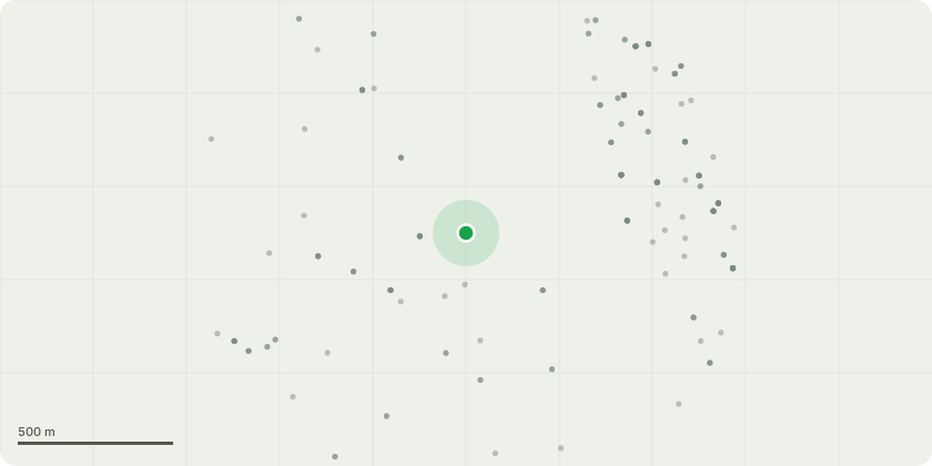
Approximate location
Proposal
T1 – Cherry: Reduce back to previous pruning points and reshape the remaining crown to maintain a balanced and natural form. T2 & T3 – Birch (2 no.): Fell to ground level. T4 – Early-mature self-seeded Oak: Fell to ground level. Reason for Works : The overhead telecommunications line passes directly through the crowns of all four trees and is subject to ongoing conflict with their growth. BT/Openreach has previously undertaken works to tighten the line and advised that the trees require management to maintain adequate clearance from the infrastructure. In addition, the two birch trees (T2 and T3) are causing damage to the adjacent boundary fence and are likely to result in further displacement and deterioration if retained. The self-seeded oak (T4) is currently at an early-mature stage but has the potential to become a substantial tree. Given its proximity to the telecommunications line and the constraints of its location, it is likely to outgrow the available space and create increasing conflicts with both the overhead infrastructure and surrounding land uses. Removal at this stage is considered the most appropriate long-term management solution. The proposed works will resolve the existing conflict with the telecommunications line, prevent further damage to the boundary fence, and avoid the need for more extensive management works in the future.
Key dates
- Received 28 Jul 2026
- Started 28 Jul 2026
Planning history / related applications
No related planning applications have been identified in the current public OGL dataset.
Inside plotEdge
Go beyond the public record
This page is the public OGL record. plotEdge adds the private intelligence layer for this site - open it in the app to unlock:
- Ownership & title Registered owner and title from HM Land Registry.
- Viability & build potential Site scoring and development upside.
- Constraints Flood risk, green belt, conservation areas and designations.
- Approval signal Planning risk and approval-likelihood analysis.
- Comparable applications Decisions on similar nearby sites, side by side.
- Status alerts Get notified the moment this application changes.
Source: public planning application data from Worcester, reused under the Open Government Licence v3.0. View the council source record. Council documents and drawings are not republished on plotEdge.