Wolverhampton
Wolverhampton/26/01055/TR
Cadet Centre Halecroft Avenue Wolverhampton West Midlands WV11 1TS
- Reference
- Wolverhampton/26/01055/TR
- Authority
- Wolverhampton
- Application type
- TR
- Address
- Cadet Centre Halecroft Avenue Wolverhampton West Midlands WV11 1TS
- Postcode
- WV11 1TS
- Status
- Awaiting decision
- Received
- 2 Oct 2026
- Started
- 2 Oct 2026
- Source council
- Wolverhampton
- Council source record
- View public record
- Public data licence
- Open Government Licence v3.0
- Record updated
- 10 Oct 2026
- SEO index generated
- 15 Oct 2026
Location
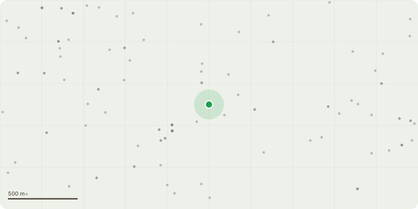
Approximate location
Proposal
06/00074/TPO, Halecroft Avenue, Wednesfield, Tree Preservation Order 1997 [02/2/445] (T1)Specification of Proposed WorksPrune the protected tree to remove and/or selectively reduce only those branches that are currently overhanging and contacting, or are likely to come into contact with, the roof and guttering of the building.In addition, selectively prune branches around the overhead telephone/broadband cable supplying the cadet centre, removing only those branches that are currently contacting the cable or are sufficiently close that they are likely to interfere with, place pressure on, or damage the cable.The pruning is to be carried out sympathetically and to the minimum extent necessary to provide adequate clearance from the roof, guttering and telecommunications cable, while retaining the natural form, health and structural integrity of the tree. No unnecessary or excessive crown reduction is proposed.All arisings, branches and other tree waste generated by the works are to be removed from site on completion, leaving the area clean and tidy.
Key dates
- Received 2 Oct 2026
- Started 2 Oct 2026
Planning history / related applications
No related planning applications have been identified in the current public OGL dataset.
Inside plotEdge
Go beyond the public record
This page is the public OGL record. plotEdge adds the private intelligence layer for this site - open it in the app to unlock:
- Ownership & title Registered owner and title from HM Land Registry.
- Viability & build potential Site scoring and development upside.
- Constraints Flood risk, green belt, conservation areas and designations.
- Approval signal Planning risk and approval-likelihood analysis.
- Comparable applications Decisions on similar nearby sites, side by side.
- Status alerts Get notified the moment this application changes.
Source: public planning application data from Wolverhampton, reused under the Open Government Licence v3.0. View the council source record. Council documents and drawings are not republished on plotEdge.