Wolverhampton
Wolverhampton/26/01036/TR
Wolverhampton Grammar School Compton Road Wolverhampton West Midlands WV3 9RB
- Reference
- Wolverhampton/26/01036/TR
- Authority
- Wolverhampton
- Application type
- TR
- Address
- Wolverhampton Grammar School Compton Road Wolverhampton West Midlands WV3 9RB
- Postcode
- WV3 9RB
- Status
- Awaiting decision
- Received
- 25 Sept 2026
- Started
- 25 Sept 2026
- Source council
- Wolverhampton
- Council source record
- View public record
- Public data licence
- Open Government Licence v3.0
- Record updated
- 6 Oct 2026
- SEO index generated
- 7 Oct 2026
Location
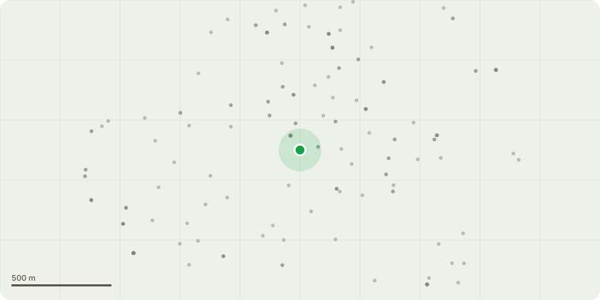
Approximate location
Proposal
G1 Merridale Lanex8 Lime and x1 BirchCrown lift to clear 6 metres over the highway and 3 metres over the footpathFell the nearly dead Cherry treeG2 Merridale Avenuex20 LimeCrown lift to clear 6 metres over the highway and 3 metres over the footpathCut back playing field by 3 metresG3x2 Red OakReduce the very long branches over the road and private property by up to 3 metres. Remove deadwood.G4Penn cricket club groundPoplar, infested with ivy which disguises the very poor condition. One side is completely dead and decayed. The base of the tree has advanced decay, therefore the only section that is alive is leaning over the private house, supported only by a rotten old stump.Dismantle crown to leave the large diameter stump as a wildlife habitat Goat Willow (also G4)Resting on the changing room roof. Has been previously cut as a pollardRe-pollardT1 - Main Sports fieldSycamore in north-western corner, adjacent to the Compton Road allotments. Has been maintained for several years but is now around 60% dead. Large sections are liable to fall onto the adjacent property and sports field. Fell tree to ground level
Key dates
- Received 25 Sept 2026
- Started 25 Sept 2026
Planning history / related applications
No related planning applications have been identified in the current public OGL dataset.
Inside plotEdge
Go beyond the public record
This page is the public OGL record. plotEdge adds the private intelligence layer for this site - open it in the app to unlock:
- Ownership & title Registered owner and title from HM Land Registry.
- Viability & build potential Site scoring and development upside.
- Constraints Flood risk, green belt, conservation areas and designations.
- Approval signal Planning risk and approval-likelihood analysis.
- Comparable applications Decisions on similar nearby sites, side by side.
- Status alerts Get notified the moment this application changes.
Source: public planning application data from Wolverhampton, reused under the Open Government Licence v3.0. View the council source record. Council documents and drawings are not republished on plotEdge.