Wolverhampton
Wolverhampton/26/01034/TR
The Westlands 132 Compton Road Wolverhampton West Midlands WV3 9QB
- Reference
- Wolverhampton/26/01034/TR
- Authority
- Wolverhampton
- Application type
- TR
- Address
- The Westlands 132 Compton Road Wolverhampton West Midlands WV3 9QB
- Postcode
- WV3 9QB
- Status
- Awaiting decision
- Received
- 25 Sept 2026
- Started
- 25 Sept 2026
- Source council
- Wolverhampton
- Council source record
- View public record
- Public data licence
- Open Government Licence v3.0
- Record updated
- 6 Oct 2026
- SEO index generated
- 7 Oct 2026
Location
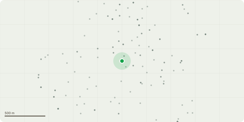
Approximate location
Proposal
2/2/132 G1 T001 - Corsican Pine - Despite its overall vigour, a number of structural defects were identified that increase the likelihood of branch failure. Works to be completed: Reduce the foreseeable risk of branch failure over the adjacent car parking area. It is therefore recommended that the cracked lower scaffold branch be removed in its entirety, as the observed longitudinal split indicates a progressive loss of structural integrity and an increased likelihood ofpartial or complete failure.T002 - Elm - Routine Management Works to be completed: Regrowth extending over the car parking area be reduced by approximately 1 m, pruning back to suitable previous reduction points where practicable. This work will maintain adequate clearance above parked vehicles, manage future canopy encroachment and reduce loading on previouslypruned branch structures.
Key dates
- Received 25 Sept 2026
- Started 25 Sept 2026
Planning history / related applications
No related planning applications have been identified in the current public OGL dataset.
Inside plotEdge
Go beyond the public record
This page is the public OGL record. plotEdge adds the private intelligence layer for this site - open it in the app to unlock:
- Ownership & title Registered owner and title from HM Land Registry.
- Viability & build potential Site scoring and development upside.
- Constraints Flood risk, green belt, conservation areas and designations.
- Approval signal Planning risk and approval-likelihood analysis.
- Comparable applications Decisions on similar nearby sites, side by side.
- Status alerts Get notified the moment this application changes.
Source: public planning application data from Wolverhampton, reused under the Open Government Licence v3.0. View the council source record. Council documents and drawings are not republished on plotEdge.