Wolverhampton
Wolverhampton/25/01188/TR
Street Record The Lindens Wolverhampton West Midlands
- Reference
- Wolverhampton/25/01188/TR
- Authority
- Wolverhampton
- Application type
- TR
- Address
- Street Record The Lindens Wolverhampton West Midlands
- Status
- Decided
- Received
- 21 Oct 2025
- Validated
- 19 Nov 2025
- Started
- 19 Nov 2025
- Decided
- 23 Jan 2026
- Source council
- Wolverhampton
- Council source record
- View public record
- Public data licence
- Open Government Licence v3.0
- Record updated
- 6 Aug 2026
- SEO index generated
- 7 Aug 2026
Location
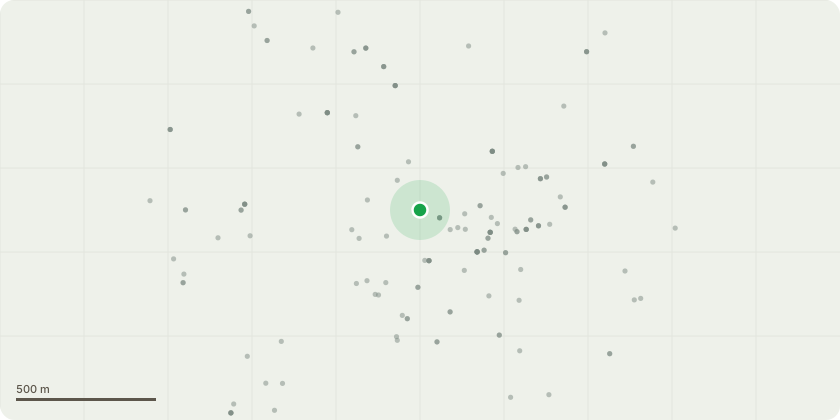
Approximate location
Proposal
02/2/7 (A1 ) g1- lime trees along the front of the lindens/newbridge crescent these are currently blocking pavement and pedestrians footpath works to be undertaken are to remove epicormic growth upto 3.5 metres in height to clear footpath this is due to being a hazard to pedestrians and is heavily used due to school traffic along this road.t1- beech removal to stump level due to major crown decline in the tree over the last 3 years and ganoderma brackets present as per photos this has been at base of the tree since 2022, re planting off another beech or chestnut tree to be facilitated along the tree line at the back as part of the property managements on going tree management programme.t2- pine to be removed to stump level due to damage in recent storms the top half of the crown has snapped and landed on the floor as per photos rest of the tree is now looking very sparce and open to wind blow further damage.t3- elm tree to be removed due to poor structure and touching neighbouring school property there is other trees in the row to mitigate this loss.
Key dates
- Received 21 Oct 2025
- Validated 19 Nov 2025
- Started 19 Nov 2025
- Decided 23 Jan 2026
Planning history / related applications
No related planning applications have been identified in the current public OGL dataset.
Inside plotEdge
Go beyond the public record
This page is the public OGL record. plotEdge adds the private intelligence layer for this site - open it in the app to unlock:
- Ownership & title Registered owner and title from HM Land Registry.
- Viability & build potential Site scoring and development upside.
- Constraints Flood risk, green belt, conservation areas and designations.
- Approval signal Planning risk and approval-likelihood analysis.
- Comparable applications Decisions on similar nearby sites, side by side.
- Status alerts Get notified the moment this application changes.
Source: public planning application data from Wolverhampton, reused under the Open Government Licence v3.0. View the council source record. Council documents and drawings are not republished on plotEdge.