Wolverhampton
Wolverhampton/25/00965/TN
8 Park Dale West Wolverhampton West Midlands
- Reference
- Wolverhampton/25/00965/TN
- Authority
- Wolverhampton
- Application type
- TN
- Address
- 8 Park Dale West Wolverhampton West Midlands
- Status
- Awaiting decision
- Received
- 21 Aug 2025
- Started
- 21 Aug 2025
- Source council
- Wolverhampton
- Council source record
- View public record
- Public data licence
- Open Government Licence v3.0
- Record updated
- 6 Aug 2026
- SEO index generated
- 7 Aug 2026
Location
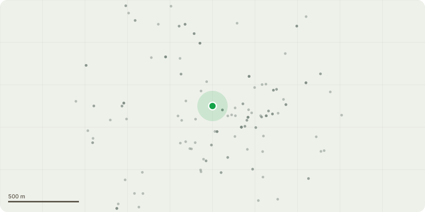
Approximate location
Proposal
Tree Work ProposalsThe Small Rear Tree identified by the site sketch and photographs (believed to be a species of Alder) is blocking the shared rear vehicular drive for larger vehicles and obstructs the rear access to the adjoining property both as shown by the photographs. This tree is poor wild growth and keeps growing outward into the rear shared drive and into the adjoining property (No 9 Park Dale West) which property has a similar plot shape and size.It is proposed to remove this tree.The Birch Tree identified by the site sketch and photographs keeps dropping leaves into the main roof level valley gutter which it nears and blocking this valley gutter. This tree is very close to the boundary with the adjoining property (No 9 Park Dale West) into which it?s branches also grow.It is proposed to prune down this tree to below the level of the valley gutter or remove this tree.It is proposed to plant a new year old tree to the front garden (a Yew Tree or similar species).
Key dates
- Received 21 Aug 2025
- Started 21 Aug 2025
Planning history / related applications
No related planning applications have been identified in the current public OGL dataset.
Inside plotEdge
Go beyond the public record
This page is the public OGL record. plotEdge adds the private intelligence layer for this site - open it in the app to unlock:
- Ownership & title Registered owner and title from HM Land Registry.
- Viability & build potential Site scoring and development upside.
- Constraints Flood risk, green belt, conservation areas and designations.
- Approval signal Planning risk and approval-likelihood analysis.
- Comparable applications Decisions on similar nearby sites, side by side.
- Status alerts Get notified the moment this application changes.
Source: public planning application data from Wolverhampton, reused under the Open Government Licence v3.0. View the council source record. Council documents and drawings are not republished on plotEdge.