Wolverhampton
Wolverhampton/25/00290/TR
Dukes Park Open Space (Land Opposite 63 Mullion Drive) Bradley Wolverhampton
- Reference
- Wolverhampton/25/00290/TR
- Authority
- Wolverhampton
- Application type
- TR
- Address
- Dukes Park Open Space (Land Opposite 63 Mullion Drive) Bradley Wolverhampton
- Status
- Decided
- Received
- 14 Mar 2025
- Validated
- 14 Mar 2025
- Started
- 14 Mar 2025
- Decided
- 17 Mar 2025
- Source council
- Wolverhampton
- Council source record
- View public record
- Public data licence
- Open Government Licence v3.0
- Record updated
- 6 Aug 2026
- SEO index generated
- 7 Aug 2026
Location
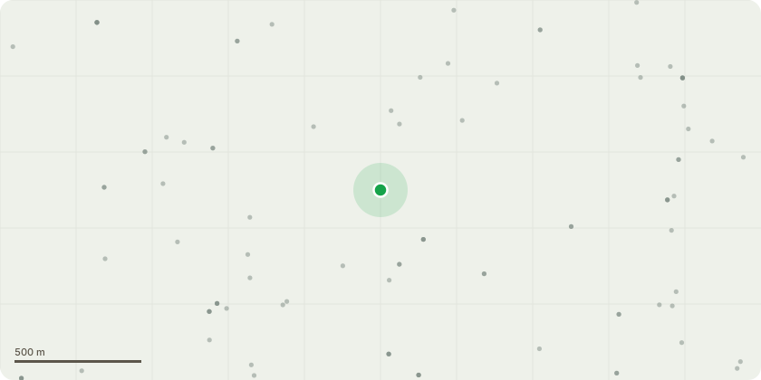
Approximate location
Proposal
G1 (on submitted location plan) - Group of Lombardy poplars located in close proximity to the boundary of the Dukes Park Open Space adjacent to the rear gardens of 46 - 64 Wallace Road ? Re-pollard all Lombardy poplar trees shown within the boundary of G1 (green dashed line) on the attached plan (approximately 51 trees) to the topping point established by the previous topping indicative height of topping point is shown on the submitted photos as a guide to the extent of pruning proposed. Reason(s) - The trees have grown significantly since their previous topping, and the resultant regrowth is now at an increased risk of failure due to anticipated decay within the topping points and poor branch attachments. there are already a number of evident failures within the trees. Given that the trees are located in close proximity to the boundary of residential gardens it is now considered that in accordance with the Councils' adopted Tree Risk Management Strategy works are required to reduce the risk of further failures.G1.1 - Lombardy poplar - Fell - Reason(s) - The tree has developed significant decay in the basal area, it is considered that this tree is at a heightened risk of failure. Given the scale and the prominence of wider tree group the removal of this tree will not have any significant impact on the amenity of the wider area.G1.2 - Lombardy poplar - Fell - Reason(s) - The tree has developed significant decay in the basal area, it is considered that this tree is at a heightened risk of failure. Given the scale and the prominence of wider tree group the removal of this tree will not have any significant impact on the amenity of the wider area.It is not proposed to replant any trees as direct replacement for the trees proposed to be removed due to the number of existing trees in the area, as any replacement would struggle to establish.
Key dates
- Received 14 Mar 2025
- Validated 14 Mar 2025
- Started 14 Mar 2025
- Decided 17 Mar 2025
Planning history / related applications
No related planning applications have been identified in the current public OGL dataset.
Inside plotEdge
Go beyond the public record
This page is the public OGL record. plotEdge adds the private intelligence layer for this site - open it in the app to unlock:
- Ownership & title Registered owner and title from HM Land Registry.
- Viability & build potential Site scoring and development upside.
- Constraints Flood risk, green belt, conservation areas and designations.
- Approval signal Planning risk and approval-likelihood analysis.
- Comparable applications Decisions on similar nearby sites, side by side.
- Status alerts Get notified the moment this application changes.
Source: public planning application data from Wolverhampton, reused under the Open Government Licence v3.0. View the council source record. Council documents and drawings are not republished on plotEdge.