Wolverhampton
Wolverhampton/24/01087/TR
Highgrove Conservation Area Highgrove Wolverhampton West Midlands
- Reference
- Wolverhampton/24/01087/TR
- Authority
- Wolverhampton
- Application type
- TR
- Address
- Highgrove Conservation Area Highgrove Wolverhampton West Midlands
- Status
- Decided
- Received
- 14 Oct 2024
- Validated
- 15 Oct 2024
- Started
- 15 Oct 2024
- Decided
- 15 Nov 2024
- Source council
- Wolverhampton
- Council source record
- View public record
- Public data licence
- Open Government Licence v3.0
- Record updated
- 6 Aug 2026
- SEO index generated
- 7 Aug 2026
Location
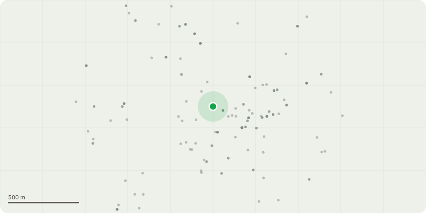
Approximate location
Proposal
Dismantle upper crown, reducing tree to a structure of around 9-10m above ground level (4?5m above height of main fork). Excerpt from Survey:Particularly tall sycamore dominating the edge of the woodland, growing upon a steep embankment. The tree was previously densely clad in ivy whichhas been severed and stripped, allowing a more thorough inspection.For many years the tree has been subject to progressive crown lifting which has resulted in raising the centre of gravity of its crown. Old unoccludedpruning wound at approximately 8m on the development side.Old wire hawser and screw in bolt type single cable brace installed at around 13m above ground which appeared highly taut.On the north eastern side of the trunk base (approximately bearing of 600),there is a localised cluster of perfect stage burnt crust fungus (Kretzschmariadeusta) within a slight fissure that was previously obscured by ivy growth.At the time of inspection, leaves were only recently expanded. Although vigour appears reduced, there was no obvious significant dieback since theprevious assessment.A number of test drillings with a Resistograph were made around the base of the trunk to help ascertain the likely extent of internal decay. The first drilling D2 was made adjacent to the current fungal fruiting bodies at an approximate bearing of 600. This revealed extensive decay/cavity formation beyond 10cm. Drilling D3 was made into a slightly flared area of the trunk base at an approximate bearing of 1000 and revealed extensive decay beyond 18cm. Drilling D4 was made at an approximate bearing of 1500 and revealed extensive decay beyond 10cm penetration ahead of encountering a cavity triggering the auto needle retraction function of the drill. Test drilling D5 was made roughly due south at an approximate bearing of 1900. This revealed sound wood to a depth of 27cm and a cavity beyond. Drilling D6 was made at an approximate bearing of 2500 and showed advanced decay beyond 10cm, leading to...
Key dates
- Received 14 Oct 2024
- Validated 15 Oct 2024
- Started 15 Oct 2024
- Decided 15 Nov 2024
Planning history / related applications
No related planning applications have been identified in the current public OGL dataset.
Inside plotEdge
Go beyond the public record
This page is the public OGL record. plotEdge adds the private intelligence layer for this site - open it in the app to unlock:
- Ownership & title Registered owner and title from HM Land Registry.
- Viability & build potential Site scoring and development upside.
- Constraints Flood risk, green belt, conservation areas and designations.
- Approval signal Planning risk and approval-likelihood analysis.
- Comparable applications Decisions on similar nearby sites, side by side.
- Status alerts Get notified the moment this application changes.
Source: public planning application data from Wolverhampton, reused under the Open Government Licence v3.0. View the council source record. Council documents and drawings are not republished on plotEdge.