Woking
Woking/COND/2026/0036
Sheerwater Estate Albert Drive Sheerwater Woking Surrey
- Reference
- Woking/COND/2026/0036
- Authority
- Woking
- Address
- Sheerwater Estate Albert Drive Sheerwater Woking Surrey
- Status
- Decided
- Decision
- Permitted
- Received
- 22 Apr 2026
- Validated
- 22 Apr 2026
- Started
- 22 Apr 2026
- Decided
- 25 Jun 2026
- Source council
- Woking
- Council source record
- View public record
- Public data licence
- Open Government Licence v3.0
- Record updated
- 6 Aug 2026
- SEO index generated
- 7 Aug 2026
Location
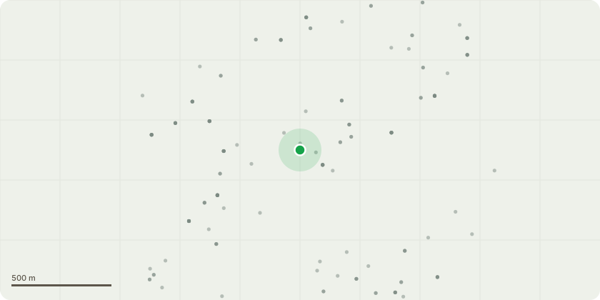
Approximate location
Proposal
Approval of details pursuant to Conditions 34 (Access and Visibility), 51 (EV Charging) and 100 (BREEAM) of planning permission PLAN/2018/0337 for Hybrid planning application (part outline, part full planning application) for the demolition of 573 residential units and existing non-residential buildings and redevelopment of the site to be implemented in phases to provide a mixed-use development comprising of 869 residents units (Class C3), 134 specialist residential units (Class C3/C2), 904 sqm community centre (Class D1 ), 929 sqm nursery/children's centre (Class D1 ), 312 sqm health centre (Class D1 ), 290 sqm additional classrooms (Class D1 ), 1,728 sqm of retail (flexible use within Class A 1 and/or A2 and/or A3 and/or A4 and/or A5), 117sqm management office (flexible use within Class A 1 and/or A2 and/or A3 and/or A4 and/or A5 and/or B1a and/or SG), and 132 sqm dentist (flexible use within Class A1 and/or A2 and/or A3 and/or A4 and/or A5 and/or class D1 ), a new energy centre, formation of a new car park for Broadmere Primary school, formation of an extended car park for Bishop David Brown School and the Leisure Centre, including a bus/coach drop off area, formation of a new community car park to serve community hub, hard and soft landscaping and open space with a kiosk, a multi-use games area (MUGA) and a skate park, reconfigured and new vehicular and pedestrian access and works to the public highway and associated works; including full planning application for the detailed phases comprising of: demolition of 412 residential units and 7,609 sqm existing non-residential buildings, and construction of 695 residential units (7 no. studios, 68 no. 1-bedroom specialist accommodation, 160 no. 1-bed units, 227 no. 2-bed units, 160 no. 3-bed units, 71 no.4-bed units, and 2 no. 5-bed units, ), 904 sqm Community Centre (Class D1), 1,728 sqm of retail (flexible use within Class A1 and/or A2
Key dates
- Received 22 Apr 2026
- Validated 22 Apr 2026
- Started 22 Apr 2026
- Decided 25 Jun 2026
Planning history / related applications
No related planning applications have been identified in the current public OGL dataset.
Inside plotEdge
Go beyond the public record
This page is the public OGL record. plotEdge adds the private intelligence layer for this site - open it in the app to unlock:
- Ownership & title Registered owner and title from HM Land Registry.
- Viability & build potential Site scoring and development upside.
- Constraints Flood risk, green belt, conservation areas and designations.
- Approval signal Planning risk and approval-likelihood analysis.
- Comparable applications Decisions on similar nearby sites, side by side.
- Status alerts Get notified the moment this application changes.
Source: public planning application data from Woking, reused under the Open Government Licence v3.0. View the council source record. Council documents and drawings are not republished on plotEdge.