Woking
Woking/AMEND/2026/0007
Land At Victoria Way And Church Street West Church Street West Woking Surrey
- Reference
- Woking/AMEND/2026/0007
- Authority
- Woking
- Address
- Land At Victoria Way And Church Street West Church Street West Woking Surrey
- Status
- Pending Consideration
- Received
- 16 Mar 2026
- Started
- 16 Mar 2026
- Source council
- Woking
- Council source record
- View public record
- Public data licence
- Open Government Licence v3.0
- Record updated
- 6 Aug 2026
- SEO index generated
- 7 Aug 2026
Location
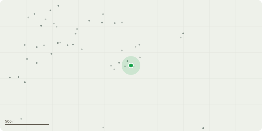
Approximate location
Proposal
Non-Material Amendment to conditions 2 (approved plans), 17 (soft landscaping), 19 (green/brown roofs), 20 (hard landscaping) and 31 (cycling parking) of planning permission ref: PLAN/2018/0444 (Section 73 application to vary Condition 1 (approved plans) of permission ref: PLAN/2014/0014 (Erection of new shops (10,967 sq.m. in Use Classes A1, A2, A3, A5) and medical or commercial floorspace (526 sq.m. in Use Classes D1, D2, B1 or A2). 190 bed hotel of 23 storeys (including plant) (Class C1) with conference facilities, basement level spa and gym. 392 residential apartments (Class C3) with Tower 1, 34 storeys and Tower 2, 30 storeys. Construction of a new local energy centre at the Red Car Park, changes and extension to the Red and Yellow Car Park together with a new Green car park to provide 380 (net) new parking spaces. Creation of a new public square and new civic space and highway works including servicing to Wolsey Place and delivery provision. Closure of Cawsey Way and Church Street West, new all movements junction at Goldsworth Road/Victoria Way and High Street to be one way west with new bus stops and cycle lane. Demolition of the Fire Station, Globe House and part of the existing Wolsey Place Shopping centre)
Key dates
- Received 16 Mar 2026
- Started 16 Mar 2026
Planning history / related applications
No related planning applications have been identified in the current public OGL dataset.
Inside plotEdge
Go beyond the public record
This page is the public OGL record. plotEdge adds the private intelligence layer for this site - open it in the app to unlock:
- Ownership & title Registered owner and title from HM Land Registry.
- Viability & build potential Site scoring and development upside.
- Constraints Flood risk, green belt, conservation areas and designations.
- Approval signal Planning risk and approval-likelihood analysis.
- Comparable applications Decisions on similar nearby sites, side by side.
- Status alerts Get notified the moment this application changes.
Source: public planning application data from Woking, reused under the Open Government Licence v3.0. View the council source record. Council documents and drawings are not republished on plotEdge.