Winchester
Winchester/26/02104/TPO
15 Holly Meadows Winchester Hampshire SO22 5FQ
- Reference
- Winchester/26/02104/TPO
- Authority
- Winchester
- Application type
- Tree preservation order
- Address
- 15 Holly Meadows Winchester Hampshire SO22 5FQ
- Postcode
- SO22 5FQ
- Status
- Current
- Received
- 12 Oct 2026
- Validated
- 13 Oct 2026
- Started
- 13 Oct 2026
- Source council
- Winchester
- Council source record
- View public record
- Public data licence
- Open Government Licence v3.0
- Record updated
- 14 Oct 2026
- SEO index generated
- 21 Oct 2026
Location
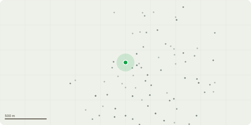
Approximate location
Proposal
Fell 1 x self-sown, early-mature Beech (Fagus sylvatica) located towards the south of Nos. 18 and 19 Holly Meadows.Reasons for works: The tree is not part of any planting scheme, it sits incidentally within a historic avenue of veteran lime trees. It is not in keeping with the avenue and detracts from its visual amenity and the historic character of the designed landscape. It also casts shade and competes for light, moisture and nutrients with the veteran lime trees, and its continued growth will progressively suppress their crowns.Removal is recommended to release the veteran limes from competition, in line with recognised veteran tree management practice. Removing it at this stage, before it reaches full maturity, minimises loss of amenity and limits disturbance to the limes? roots compared with felling a larger tree in future. The canopy gap will be left to natural regeneration from the suppressed trees nearby.
Key dates
- Received 12 Oct 2026
- Validated 13 Oct 2026
- Started 13 Oct 2026
Planning history / related applications
No related planning applications have been identified in the current public OGL dataset.
Inside plotEdge
Go beyond the public record
This page is the public OGL record. plotEdge adds the private intelligence layer for this site - open it in the app to unlock:
- Ownership & title Registered owner and title from HM Land Registry.
- Viability & build potential Site scoring and development upside.
- Constraints Flood risk, green belt, conservation areas and designations.
- Approval signal Planning risk and approval-likelihood analysis.
- Comparable applications Decisions on similar nearby sites, side by side.
- Status alerts Get notified the moment this application changes.
Source: public planning application data from Winchester, reused under the Open Government Licence v3.0. View the council source record. Council documents and drawings are not republished on plotEdge.