Winchester
Winchester/26/02086/TPO
7 Hawthorn Close Colden Common Winchester Hampshire SO21 1UX
- Reference
- Winchester/26/02086/TPO
- Authority
- Winchester
- Application type
- Tree preservation order
- Address
- 7 Hawthorn Close Colden Common Winchester Hampshire SO21 1UX
- Postcode
- SO21 1UX
- Status
- Current
- Received
- 8 Oct 2026
- Validated
- 12 Oct 2026
- Started
- 12 Oct 2026
- Source council
- Winchester
- Council source record
- View public record
- Public data licence
- Open Government Licence v3.0
- Record updated
- 13 Oct 2026
- SEO index generated
- 20 Oct 2026
Location
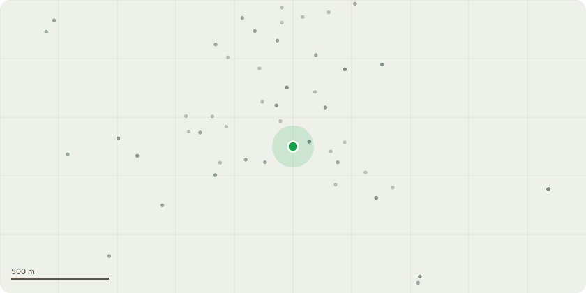
Approximate location
Proposal
(Land At Church Pond, Colden Common 1T Off St Vigor Way (On Right Of Way Footpath 501)T1 - Oak Tree - Tagged 398It is a multi stem which is leaning low over a neighbouring properties fence line. Where is comes from the base of the main truck it has a hairline crack. We wish to cut off this limb just before the neighbouring fence to take the weight of the limb and using the removed wood, prop up the rest of the limb.T2 - Ash Tree - Tagged 400This tree has advanced Ash Die back and we wish to pollard it just above the limb which goes left as this has various habitat holes and a hornets nest. Reducing to this height will reduce the risk Both trees are right next to right of way 501. Tree T1 limb is overhanging a garden.
Key dates
- Received 8 Oct 2026
- Validated 12 Oct 2026
- Started 12 Oct 2026
Planning history / related applications
No related planning applications have been identified in the current public OGL dataset.
Inside plotEdge
Go beyond the public record
This page is the public OGL record. plotEdge adds the private intelligence layer for this site - open it in the app to unlock:
- Ownership & title Registered owner and title from HM Land Registry.
- Viability & build potential Site scoring and development upside.
- Constraints Flood risk, green belt, conservation areas and designations.
- Approval signal Planning risk and approval-likelihood analysis.
- Comparable applications Decisions on similar nearby sites, side by side.
- Status alerts Get notified the moment this application changes.
Source: public planning application data from Winchester, reused under the Open Government Licence v3.0. View the council source record. Council documents and drawings are not republished on plotEdge.