Winchester
Winchester/26/02074/TPC
10 Lansdowne Avenue Winchester Hampshire SO23 9TJ
- Reference
- Winchester/26/02074/TPC
- Authority
- Winchester
- Application type
- TPC
- Address
- 10 Lansdowne Avenue Winchester Hampshire SO23 9TJ
- Postcode
- SO23 9TJ
- Status
- Current
- Received
- 7 Oct 2026
- Validated
- 7 Oct 2026
- Started
- 7 Oct 2026
- Source council
- Winchester
- Council source record
- View public record
- Public data licence
- Open Government Licence v3.0
- Record updated
- 8 Oct 2026
- SEO index generated
- 14 Oct 2026
Location
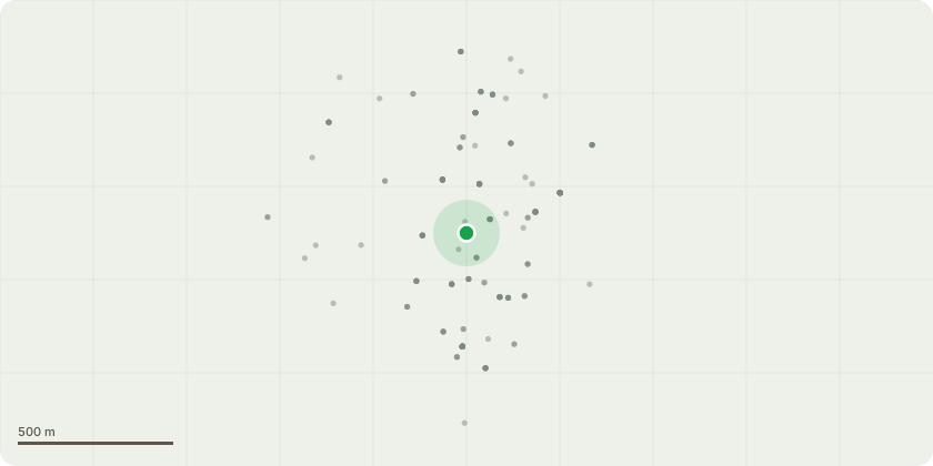
Approximate location
Proposal
T1- Medlar: Fell to ground level due to proximity to building, as well as signs of blight during the year.T2- Cherry: Fell to ground level. Over the last 2 years, the tree has show significant signs of dieback throughout the canopy with no signs of improvement. The tree is likely over mature, and has a number of high value targets beneath, as well as being in close proximity to buildings. T3- Beech and Laurel: Permission to fell to ground level. The trees are growing in very close proximity, and have very poor form with limited aesthetic value, and no opportunity to prune and improve this. Re- planting with something more appropriate is the preferred option. T4- Bay tree: Fell to ground level. The tree is in close proximity to the wall and causing issues with the foundations. It is also very over mature for it's species, and has lost any aesthetic value.T5- Holly: Prune aspect encroaching on house away to provide 1-2m clearance from structure. G1: Group of understory made up of Bay, Llilac, Philadelphus and some other small shrubs: Remove all understory, including all the Bay trees, leaving only mature trees including 2x Birch, 1x Pine, 1x Holm Oak and 1x Judas tree. All the understory is very overgrown and suppressing the growth of anything else beneath the trees. This whole area under the trees will be replanted with more appropriate plants. All trees being removed will have trees re-planted in their place throughout the garden.
Key dates
- Received 7 Oct 2026
- Validated 7 Oct 2026
- Started 7 Oct 2026
Planning history / related applications
No related planning applications have been identified in the current public OGL dataset.
Inside plotEdge
Go beyond the public record
This page is the public OGL record. plotEdge adds the private intelligence layer for this site - open it in the app to unlock:
- Ownership & title Registered owner and title from HM Land Registry.
- Viability & build potential Site scoring and development upside.
- Constraints Flood risk, green belt, conservation areas and designations.
- Approval signal Planning risk and approval-likelihood analysis.
- Comparable applications Decisions on similar nearby sites, side by side.
- Status alerts Get notified the moment this application changes.
Source: public planning application data from Winchester, reused under the Open Government Licence v3.0. View the council source record. Council documents and drawings are not republished on plotEdge.