Winchester
Winchester/26/02026/TPO
Kings Worthy Primary School Church Lane Kings Worthy Winchester Hampshire SO23 7QS
- Reference
- Winchester/26/02026/TPO
- Authority
- Winchester
- Application type
- Tree preservation order
- Address
- Kings Worthy Primary School Church Lane Kings Worthy Winchester Hampshire SO23 7QS
- Postcode
- SO23 7QS
- Status
- Current
- Received
- 30 Sept 2026
- Validated
- 30 Sept 2026
- Started
- 30 Sept 2026
- Source council
- Winchester
- Council source record
- View public record
- Public data licence
- Open Government Licence v3.0
- Record updated
- 6 Oct 2026
- SEO index generated
- 7 Oct 2026
Location
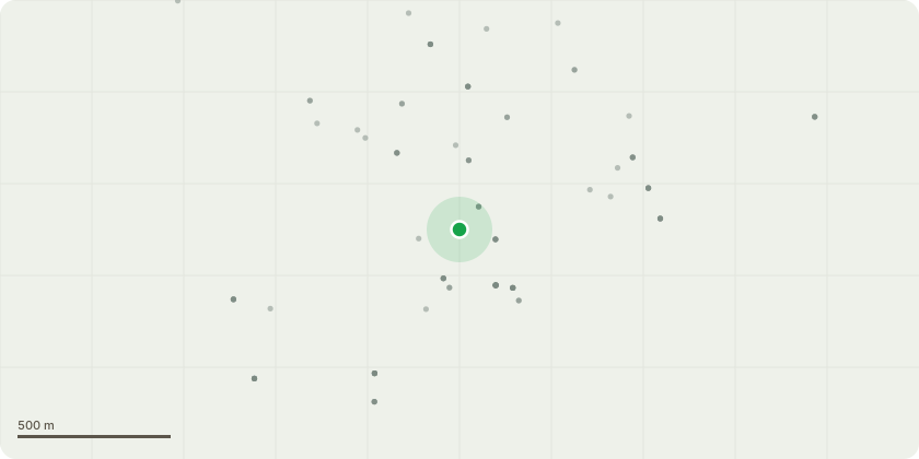
Approximate location
Proposal
We would like to apply to have the crown lifted on a Yew tree, (number 194421 on the plan), that overhangs the school's boundary from the grounds neighboring Hinton House due to health and safety concerns and recent incidents involving primary school aged children scratching their heads and faces on the low hanging branches that encroach into the children's play area.We would like to apply to have the crown of the tree lifted to a height of 3 meters from ground level on the school's side of the boundary in order to create a safer head height beneath it that will help to prevent any further similar incidents from occurring in the future.If approval is granted, any proposed works will be carried out by approved contractors under the instruction of Hampshire County Council's Arboriculture team.
Key dates
- Received 30 Sept 2026
- Validated 30 Sept 2026
- Started 30 Sept 2026
Planning history / related applications
No related planning applications have been identified in the current public OGL dataset.
Inside plotEdge
Go beyond the public record
This page is the public OGL record. plotEdge adds the private intelligence layer for this site - open it in the app to unlock:
- Ownership & title Registered owner and title from HM Land Registry.
- Viability & build potential Site scoring and development upside.
- Constraints Flood risk, green belt, conservation areas and designations.
- Approval signal Planning risk and approval-likelihood analysis.
- Comparable applications Decisions on similar nearby sites, side by side.
- Status alerts Get notified the moment this application changes.
Source: public planning application data from Winchester, reused under the Open Government Licence v3.0. View the council source record. Council documents and drawings are not republished on plotEdge.