Winchester
Winchester/26/01993/TPO
The Old Parsonage Care Home Main Road Otterbourne Winchester Hampshire SO21 2EE
- Reference
- Winchester/26/01993/TPO
- Authority
- Winchester
- Application type
- Tree preservation order
- Address
- The Old Parsonage Care Home Main Road Otterbourne Winchester Hampshire SO21 2EE
- Postcode
- SO21 2EE
- Status
- Current
- Received
- 28 Sept 2026
- Validated
- 28 Sept 2026
- Started
- 28 Sept 2026
- Source council
- Winchester
- Council source record
- View public record
- Public data licence
- Open Government Licence v3.0
- Record updated
- 6 Oct 2026
- SEO index generated
- 7 Oct 2026
Location
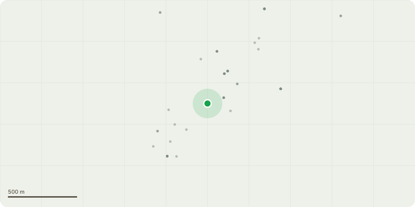
Approximate location
Proposal
Sited to the rear of block 4 (flats 20-23) within the woodland shelter belt.T1 Sycamore It is proposed to undertake a selective crown reduction and lateral branch reduction to the south-western aspect of the Sycamore canopy. The proposed works are required to address branches that have become overextended and are encroaching upon the adjacent building and roof structure.The south-western canopy will be selectively reduced to establish a minimum clearance of approximately 2.5m from the roof structure, whilst retaining sufficient crown volume to maintain the tree?s natural form and amenity value.The upper canopy, which currently extends significantly above the roofline, will be selectively reduced and blended into the surrounding crown to reduce its dominance over the building. The overextended upper growth will be reduced by no less than approximately 1.5m, where necessary, to achieve a balanced and proportionate crown profile.Pruning will be undertaken selectively, with no individual pruning cut exceeding 60mm in diameter. Cuts will be made at suitable pruning points and positioned to minimise the risk of decay and maintain the tree?s structural integrity.The proposed works are intended to provide appropriate clearance from the building whilst retaining the overall character, health, structure and visual amenity of the tree. Works to be carried out in accordance with BS3998(2010), nearest best practice pruning points.
Key dates
- Received 28 Sept 2026
- Validated 28 Sept 2026
- Started 28 Sept 2026
Planning history / related applications
No related planning applications have been identified in the current public OGL dataset.
Inside plotEdge
Go beyond the public record
This page is the public OGL record. plotEdge adds the private intelligence layer for this site - open it in the app to unlock:
- Ownership & title Registered owner and title from HM Land Registry.
- Viability & build potential Site scoring and development upside.
- Constraints Flood risk, green belt, conservation areas and designations.
- Approval signal Planning risk and approval-likelihood analysis.
- Comparable applications Decisions on similar nearby sites, side by side.
- Status alerts Get notified the moment this application changes.
Source: public planning application data from Winchester, reused under the Open Government Licence v3.0. View the council source record. Council documents and drawings are not republished on plotEdge.