Winchester
Winchester/26/01770/TPC
Ladywell House Ladywell Lane Alresford Hampshire SO24 9DF
- Reference
- Winchester/26/01770/TPC
- Authority
- Winchester
- Application type
- TPC
- Address
- Ladywell House Ladywell Lane Alresford Hampshire SO24 9DF
- Postcode
- SO24 9DF
- Status
- Current
- Received
- 25 Aug 2026
- Validated
- 25 Aug 2026
- Started
- 25 Aug 2026
- Source council
- Winchester
- Council source record
- View public record
- Public data licence
- Open Government Licence v3.0
- Record updated
- 26 Aug 2026
- SEO index generated
- 28 Aug 2026
Location
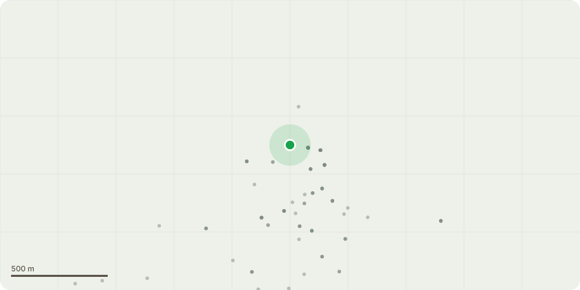
Approximate location
Proposal
(submitted as 26/01713/TPO)Description of WorksG1 Mixed hedge on the Southern boundary, running parallel to road. G1 is a mixed hedge, consisting of Cottoneaster, Bay, Viburnham, Beech, Thuja and Portuguese Laurel, now extensively overgrown, causing a neucance to the neighbouring properties abd road users.The hedge was double planted, making now extremely dense and unmanageable. Reduce width, by removing northern vegetation and laterals. Reduce remaing hedge to 3m from ground level. Trim laterals encroaching onto road .Chip back into boarder as a mulch for renaining hedge .Grind stumps of any shrubs removed Description of WorksAny stand alone Tree will be retained, as a feature tree within the hedge line .T1 Box Elder withon front drive Southern boundary. Dryads Saddle found on the southern stem at ground level (assumed to have fallen from historical wound)The crown spreads over the road and now encroaching onto neighbouring dwelling.Reduce Southern laterals by up to 4m from branch tips and eastern branch by up to 4m or nearest suitable live pruning points. Rebalance accordingly Overhead powerline to be shrouded prior to works commencing Description of WorksT2 T3 Dead Ash and Dead Birch.Sectional fell to just above ground level with the use of MEWP. Description of WorksG2 Laurel hedge Northern boundary adjacent to house. Sectional fell to just above ground level. Grind stumps to approximately 300mm bellow ground level.
Key dates
- Received 25 Aug 2026
- Validated 25 Aug 2026
- Started 25 Aug 2026
Planning history / related applications
No related planning applications have been identified in the current public OGL dataset.
Inside plotEdge
Go beyond the public record
This page is the public OGL record. plotEdge adds the private intelligence layer for this site - open it in the app to unlock:
- Ownership & title Registered owner and title from HM Land Registry.
- Viability & build potential Site scoring and development upside.
- Constraints Flood risk, green belt, conservation areas and designations.
- Approval signal Planning risk and approval-likelihood analysis.
- Comparable applications Decisions on similar nearby sites, side by side.
- Status alerts Get notified the moment this application changes.
Source: public planning application data from Winchester, reused under the Open Government Licence v3.0. View the council source record. Council documents and drawings are not republished on plotEdge.