Winchester
Winchester/26/01673/TPO
Curdridge Reading Rooms Reading Room Lane Curdridge Southampton Hampshire SO32 2HE
- Reference
- Winchester/26/01673/TPO
- Authority
- Winchester
- Application type
- Tree preservation order
- Address
- Curdridge Reading Rooms Reading Room Lane Curdridge Southampton Hampshire SO32 2HE
- Postcode
- SO32 2HE
- Status
- Current
- Received
- 11 Aug 2026
- Validated
- 12 Aug 2026
- Started
- 12 Aug 2026
- Source council
- Winchester
- Council source record
- View public record
- Public data licence
- Open Government Licence v3.0
- Record updated
- 13 Aug 2026
- SEO index generated
- 19 Aug 2026
Location
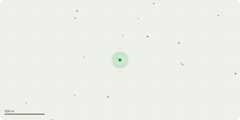
Approximate location
Proposal
This application seeks permission to fell a single Ash tree due to its declining condition and the potential risk it presents to users of the childrens play area.The tree is exhibiting symptoms consistent with Ash Dieback (Hymenoscyphus fraxineus), including significant epicormic growth around the base, crown thinning and indications of early structural decline.Due to the progressive and potentially unpredictable nature of Ash Dieback, the deterioration of affected trees can lead to an increased risk of branch failure and, in more advanced cases, structural collapse. This is of particular concern given the tree?s location directly above an area regularly occupied by children, parents and supervising adults.The principal risks associated with retaining the tree in its current condition include:Sudden or unpredictable branch failure;Progressive structural deterioration or collapse;Potential injury to children, parents and supervising adults;Damage to play equipment; and Potential damage to surrounding buildings and other property.Given the combination of the observed disease symptoms, evidence of decline and the particularly sensitive location of the tree, its removal is considered an appropriate and proportionate measure to manage the associated safety risk.The accompanying aerial view identifies the location of the Ash tree in yellow and the location of the new children?s play area in red. Photographs are also provided below showing the condition of the tree, the observed symptoms and its proximity to the play area.
Key dates
- Received 11 Aug 2026
- Validated 12 Aug 2026
- Started 12 Aug 2026
Planning history / related applications
No related planning applications have been identified in the current public OGL dataset.
Inside plotEdge
Go beyond the public record
This page is the public OGL record. plotEdge adds the private intelligence layer for this site - open it in the app to unlock:
- Ownership & title Registered owner and title from HM Land Registry.
- Viability & build potential Site scoring and development upside.
- Constraints Flood risk, green belt, conservation areas and designations.
- Approval signal Planning risk and approval-likelihood analysis.
- Comparable applications Decisions on similar nearby sites, side by side.
- Status alerts Get notified the moment this application changes.
Source: public planning application data from Winchester, reused under the Open Government Licence v3.0. View the council source record. Council documents and drawings are not republished on plotEdge.