Winchester
Winchester/25/01901/TPC
Street Record Colebrook Street Winchester Hampshire
- Reference
- Winchester/25/01901/TPC
- Authority
- Winchester
- Application type
- TPC
- Address
- Street Record Colebrook Street Winchester Hampshire
- Status
- Decided
- Decision
- Application Withdrawn
- Received
- 16 Sept 2025
- Validated
- 16 Sept 2025
- Started
- 16 Sept 2025
- Decided
- 6 Nov 2025
- Source council
- Winchester
- Council source record
- View public record
- Public data licence
- Open Government Licence v3.0
- Record updated
- 6 Aug 2026
- SEO index generated
- 7 Aug 2026
Location
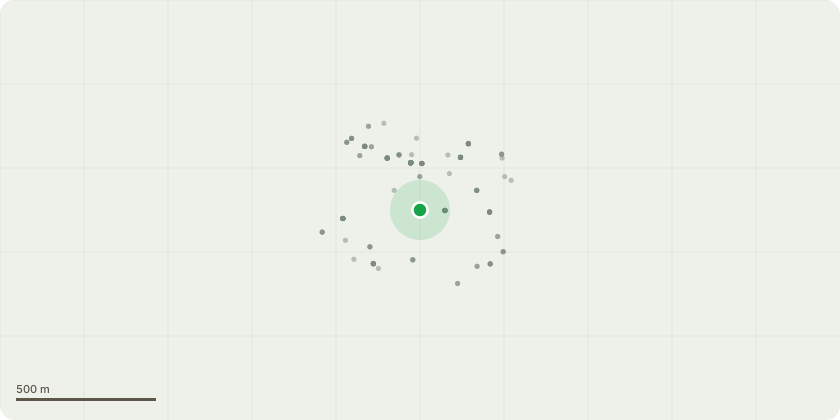
Approximate location
Proposal
Located at the water garden - Magnolia to be reduced to get back cathedral view reflected by pond.Large 2nd magnolia - reduce sixe to gain light.Fig tree - removereduce yew hedge to gain more sq footage.I would like to reduce yew hedge by one foot so it is not hindering the pavement. I want to totally remove fig tree please. Regarding the large Magnolias. One is intruding on a neighbours roof and also is now blocking the view of the Cathedral completely which is what the garden was intended to do, so also failing to reflect in the pond as originally designed. (Please see illustrations in Peter Smithers book on his garden). So the crown needs reducing if possible please by at least 3x metres. There are also two very low branches that are hindering free movement within the garden that I would like removed please. Regarding the second magnolia I would if possible like to reduce the crown by 2 metres to allow more daylight into the garden please.
Key dates
- Received 16 Sept 2025
- Validated 16 Sept 2025
- Started 16 Sept 2025
- Decided 6 Nov 2025
Planning history / related applications
No related planning applications have been identified in the current public OGL dataset.
Inside plotEdge
Go beyond the public record
This page is the public OGL record. plotEdge adds the private intelligence layer for this site - open it in the app to unlock:
- Ownership & title Registered owner and title from HM Land Registry.
- Viability & build potential Site scoring and development upside.
- Constraints Flood risk, green belt, conservation areas and designations.
- Approval signal Planning risk and approval-likelihood analysis.
- Comparable applications Decisions on similar nearby sites, side by side.
- Status alerts Get notified the moment this application changes.
Source: public planning application data from Winchester, reused under the Open Government Licence v3.0. View the council source record. Council documents and drawings are not republished on plotEdge.