Winchester
Winchester/24/02351/TPO
Land At St Vigor Way Colden Common Hampshire
- Reference
- Winchester/24/02351/TPO
- Authority
- Winchester
- Application type
- Tree preservation order
- Address
- Land At St Vigor Way Colden Common Hampshire
- Status
- Decided
- Decision
- Application Permitted
- Received
- 30 Oct 2024
- Validated
- 4 Nov 2024
- Started
- 4 Nov 2024
- Decided
- 14 Jan 2025
- Source council
- Winchester
- Council source record
- View public record
- Public data licence
- Open Government Licence v3.0
- Record updated
- 6 Aug 2026
- SEO index generated
- 7 Aug 2026
Location
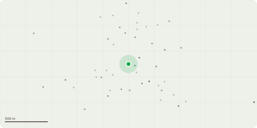
Approximate location
Proposal
1. Create access to Southern area of the pond for specialist machinery to enter the pond for the silt removal. 3m wide x 3m high minimum access for machinery access from Vears Lane. Small compound area to be set out with Heras fencing. 2. Remove as required self-seeded vegetation for access of machinery and movement around the site. 2m wide x 3m high access for dumper movements around site, as well as turning space.3. Create access to the pond for the machinery between the mature trees on the Southern bank. 3m wide x 3m high minimum access for pond access and egress.4. Remove low level self-seeded branches and vegetation around the pound perimeter (see photos) to allow silt screens to be installed around the perimeter, hazel faggots and planting.5. Remove remaining ash trees, if required, but leave all mature alder trees.6. Save two area identified on site which can take higher levels (roughly indicated by the triangle on the map), spread remaining silt thinly though the woodland leaving a minimum of 2.5m around the base of any mature trees. No silt to be placed immediately up against mature trees.7. Within 12 months plant 5 Alder trees in the woodland South of the pond8. Allow the area to natural regenerate and self-seed.9. No trees over that 7cm will be taken out in any circumstance (for access or otherwise) in the TPO area. Only Trees or limbs over 7cm which are fallen will be removed (very few) or deadwood.10. We note no removal of Ash or Alder. (Amended)
Key dates
- Received 30 Oct 2024
- Validated 4 Nov 2024
- Started 4 Nov 2024
- Decided 14 Jan 2025
Planning history / related applications
No related planning applications have been identified in the current public OGL dataset.
Inside plotEdge
Go beyond the public record
This page is the public OGL record. plotEdge adds the private intelligence layer for this site - open it in the app to unlock:
- Ownership & title Registered owner and title from HM Land Registry.
- Viability & build potential Site scoring and development upside.
- Constraints Flood risk, green belt, conservation areas and designations.
- Approval signal Planning risk and approval-likelihood analysis.
- Comparable applications Decisions on similar nearby sites, side by side.
- Status alerts Get notified the moment this application changes.
Source: public planning application data from Winchester, reused under the Open Government Licence v3.0. View the council source record. Council documents and drawings are not republished on plotEdge.