Wigan
Wigan/A/25/098657/NMAS
Agricultural Land South Of Wigan Road Farm Wigan Road Golborne
- Reference
- Wigan/A/25/098657/NMAS
- Authority
- Wigan
- Application type
- NMAS
- Address
- Agricultural Land South Of Wigan Road Farm Wigan Road Golborne
- Status
- Unknown
- Decision
- Non Material Amendment Approved
- Received
- 26 Feb 2025
- Validated
- 26 Feb 2025
- Started
- 26 Feb 2025
- Decided
- 7 Apr 2025
- Source council
- Wigan
- Council source record
- View public record
- Public data licence
- Open Government Licence v3.0
- Record updated
- 6 Aug 2026
- SEO index generated
- 7 Aug 2026
Location
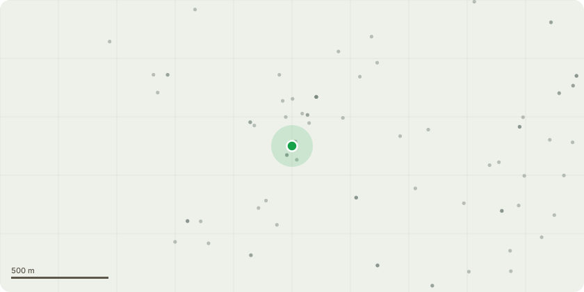
Approximate location
Proposal
Non Material amendment for previously approved application : A/22/94882/MAJOR The following changes are proposed: Office amendments which include; Planters added to the base of the green wall. Jacob trellis living wall system to be installed. First floor windows size reduced, Roof details updated introducing a pitch roof for drainage purposes, rationalisation of atrium windows, roof slightly further setback with overhang removed. Roof access ladder added and Handrail omitted. Protruding window detail developed, incorporating concealed structural steelwork within façade build up and framing spandrel panel to face of glazing to maintain proposed appearance. Amendments to external staff amenity area. Substation size decreased. Main entrance kerb lines location adjusted to reflect latest highway plans. Security fence specification changes - same height and appearance but different product. Amendments to the phasing plan to reflect these alterations.
Key dates
- Received 26 Feb 2025
- Validated 26 Feb 2025
- Started 26 Feb 2025
- Decided 7 Apr 2025
Planning history / related applications
No related planning applications have been identified in the current public OGL dataset.
Inside plotEdge
Go beyond the public record
This page is the public OGL record. plotEdge adds the private intelligence layer for this site - open it in the app to unlock:
- Ownership & title Registered owner and title from HM Land Registry.
- Viability & build potential Site scoring and development upside.
- Constraints Flood risk, green belt, conservation areas and designations.
- Approval signal Planning risk and approval-likelihood analysis.
- Comparable applications Decisions on similar nearby sites, side by side.
- Status alerts Get notified the moment this application changes.
Source: public planning application data from Wigan, reused under the Open Government Licence v3.0. View the council source record. Council documents and drawings are not republished on plotEdge.