Westminster
Westminster/26/04776/OBS
Development Site At Canal Way Royal Borough Of Kensington And Chelsea London
- Reference
- Westminster/26/04776/OBS
- Authority
- Westminster
- Application type
- OBS
- Address
- Development Site At Canal Way Royal Borough Of Kensington And Chelsea London
- Status
- Pending
- Received
- 17 Jul 2026
- Started
- 17 Jul 2026
- Source council
- Westminster
- Council source record
- View public record
- Public data licence
- Open Government Licence v3.0
- Record updated
- 6 Aug 2026
- SEO index generated
- 7 Aug 2026
Location
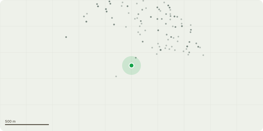
Approximate location
Proposal
Hybrid application for the phased redevelopment of Plot 3 of the masterplan site through demolition of all above-ground existing buildings and structures, site remediation, and creation of residential floorspace (Use Class C3) (up to 88,123 sq.m GEA excluding basement), flexible ground floor commercial, business and service floorspace (Use Class E) (up to 890 sq.m GEA), basement (up to 8,172 sq.m GEA) in buildings ranging in height up to 31 storeys (maximum 98 metres from ground), with associated public realm, infrastructure and associated works, comprising:Outline proposals for residential floorspace including ancillary residential facilities (Use Class C3) (up to 69,696 sq.m GEA excluding basement and up to 698 homes), basement of up to 4,753 sqm GEA and flexible commercial, business and service floorspace (Use Class E) (up to 890 sq.m GEA), new pedestrian, cycle and vehicular access, open space, landscaping, car and cycle parking, infrastructure and associated works; and Detailed proposals for residential floorspace (Use Class C3) (18,427 sq.m GEA excluding basement, 198 homes), basement of 3,419 sqm GEA, new pedestrian, cycle and vehicular access including bus route and associated facilities, open space, landscaping, car and cycle parking, infrastructure and associated works.
Key dates
- Received 17 Jul 2026
- Started 17 Jul 2026
Planning history / related applications
No related planning applications have been identified in the current public OGL dataset.
Inside plotEdge
Go beyond the public record
This page is the public OGL record. plotEdge adds the private intelligence layer for this site - open it in the app to unlock:
- Ownership & title Registered owner and title from HM Land Registry.
- Viability & build potential Site scoring and development upside.
- Constraints Flood risk, green belt, conservation areas and designations.
- Approval signal Planning risk and approval-likelihood analysis.
- Comparable applications Decisions on similar nearby sites, side by side.
- Status alerts Get notified the moment this application changes.
Source: public planning application data from Westminster, reused under the Open Government Licence v3.0. View the council source record. Council documents and drawings are not republished on plotEdge.