Westminster
Westminster/26/04472/TPO
Chester Square London
- Reference
- Westminster/26/04472/TPO
- Authority
- Westminster
- Application type
- Tree preservation order
- Address
- Chester Square London
- Status
- Pending
- Received
- 6 Jul 2026
- Started
- 6 Jul 2026
- Source council
- Westminster
- Council source record
- View public record
- Public data licence
- Open Government Licence v3.0
- Record updated
- 6 Aug 2026
- SEO index generated
- 7 Aug 2026
Location
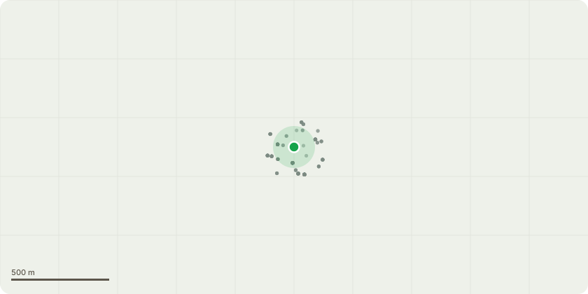
Approximate location
Proposal
T176 - Prunus cerasifera:Reduce crown by specified extent - reducing the extended limbs to the southeast over the road and parking by approximately 2 m to reduce the overhang back to the carriageway side edge of the parking bay to clear the highway and reduce loading on the historically cracked basal fork. Also lift the canopy over the car parking bay to 3 m to provide sufficient clearance for vehicles. Final cuts to be made at suitable pruning points, leaving furnishing growth where possible.T177 - Platanus x hispanica:End weight reduction - reducing the two braced stems (to the north and to the west), and reducing the lateral limbs to the east and southeast, by 2-3 m, back to the most recent previous reduction points. This work should be carried out prior to the replacement of the cable braces.T181 - Prunus cerasifera:Lift low canopy, pedestrian clearance - to 2.5 m over garden footpath.T184 - Pyrus salicifolia, T187 & T100161 - Prunus cerasifera:Lift low canopy, specified extent - to 3 m over car parking.T100276 - Halesia carolina:Fell ground level - dead young planted tree grubbing out root ball to facilitate replanting.Plant replacement tree - (Halesia carolina) during the first planting season (September to April) following tree removal.
Key dates
- Received 6 Jul 2026
- Started 6 Jul 2026
Planning history / related applications
No related planning applications have been identified in the current public OGL dataset.
Inside plotEdge
Go beyond the public record
This page is the public OGL record. plotEdge adds the private intelligence layer for this site - open it in the app to unlock:
- Ownership & title Registered owner and title from HM Land Registry.
- Viability & build potential Site scoring and development upside.
- Constraints Flood risk, green belt, conservation areas and designations.
- Approval signal Planning risk and approval-likelihood analysis.
- Comparable applications Decisions on similar nearby sites, side by side.
- Status alerts Get notified the moment this application changes.
Source: public planning application data from Westminster, reused under the Open Government Licence v3.0. View the council source record. Council documents and drawings are not republished on plotEdge.