Westminster
Westminster/26/04363/TCA
Ashley Gardens Thirleby Road London SW1P 1HG
- Reference
- Westminster/26/04363/TCA
- Authority
- Westminster
- Application type
- Trees in conservation area
- Address
- Ashley Gardens Thirleby Road London SW1P 1HG
- Postcode
- SW1P 1HG
- Status
- Pending
- Received
- 1 Jul 2026
- Started
- 1 Jul 2026
- Source council
- Westminster
- Council source record
- View public record
- Public data licence
- Open Government Licence v3.0
- Record updated
- 1 Aug 2026
- SEO index generated
- 2 Aug 2026
Location
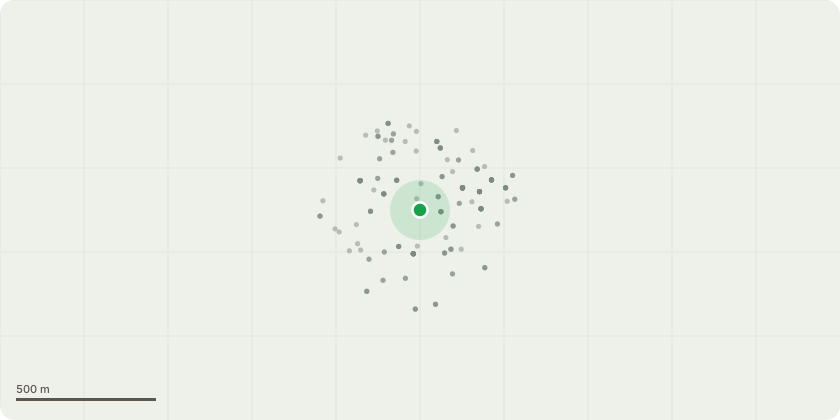
Approximate location
Proposal
Block 10 Ashley Gardens is located on Thirlby Road, the flank elevation of the block runs along Francis Street. Block 10 Ashley Gardens Ltd wish to undertake external repairs and redecorations to all external elevations of the property. In order to carry out these necessary maintenance works a scaffold is required to be erected against the external elevations to enable access. The scaffold will project approximately 800mm from the external face of the elevations. Along the mid point of the flank elevation/ Francis Street elevation there is a medium sized fruit tree. We seek permission for cutting this back to enable the scaffold to be erected against the flank elevation. It is only the foliage/small branches adjacent to the property (within 800mm) that are proposed to be cut back.
Key dates
- Received 1 Jul 2026
- Started 1 Jul 2026
Planning history / related applications
No related planning applications have been identified in the current public OGL dataset.
Inside plotEdge
Go beyond the public record
This page is the public OGL record. plotEdge adds the private intelligence layer for this site - open it in the app to unlock:
- Ownership & title Registered owner and title from HM Land Registry.
- Viability & build potential Site scoring and development upside.
- Constraints Flood risk, green belt, conservation areas and designations.
- Approval signal Planning risk and approval-likelihood analysis.
- Comparable applications Decisions on similar nearby sites, side by side.
- Status alerts Get notified the moment this application changes.
Source: public planning application data from Westminster, reused under the Open Government Licence v3.0. View the council source record. Council documents and drawings are not republished on plotEdge.