Westminster
Westminster/26/02205/FULL
Development Site At 38-70 Baker Street, 64-66 Blandford Street And 43-45 Dorset Street London
- Reference
- Westminster/26/02205/FULL
- Authority
- Westminster
- Application type
- FULL
- Address
- Development Site At 38-70 Baker Street, 64-66 Blandford Street And 43-45 Dorset Street London
- Status
- Pending
- Received
- 1 Apr 2026
- Started
- 1 Apr 2026
- Source council
- Westminster
- Council source record
- View public record
- Public data licence
- Open Government Licence v3.0
- Record updated
- 6 Aug 2026
- SEO index generated
- 7 Aug 2026
Location
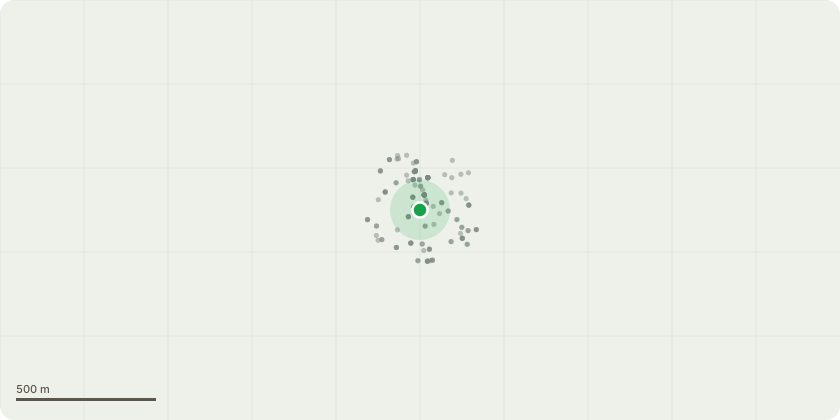
Approximate location
Proposal
Variation of Condition 40 of planning permission dated 4 April 2025 (Ref: 22/08200/FULL) for, 'Demolition of the existing buildings and redevelopment above a retained basement to create a mixed-use scheme providing Class E commercial space (retail, restaurants, offices), a community space, and 17 residential units within a new building consisting of ground plus 7 storeys plus rooftop amenity for the commercial, and ground plus 7 storeys for the residential element, improvements to the public realm and pedestrian routes around the perimeter of the Site and along Broadstone Place, consolidated servicing, ancillary plant and storage, cycle parking, and other associated works'; Namely, to amend the wording of Condition 40 (Tree Protection Measures) to require adherence to the submitted Arboricultural Method Statement (Revision C) and Arboricultural Impact Assessment (Revision A) that: (i) Ensures the protection the two largest London Plane trees (T8 and T14) at either end of the Baker Street frontage during the construction works; and (ii) Allows the felling of 10 x trees (T9, T10, T11, T12 and T13 on Baker Street; T15, T16 and T17 on Blandford Street; and T6 and T7 on Dorset Street) and their replacement post-construction on a one-for-one basis. (Application under Section 73 of the Act).
Key dates
- Received 1 Apr 2026
- Started 1 Apr 2026
Planning history / related applications
No related planning applications have been identified in the current public OGL dataset.
Inside plotEdge
Go beyond the public record
This page is the public OGL record. plotEdge adds the private intelligence layer for this site - open it in the app to unlock:
- Ownership & title Registered owner and title from HM Land Registry.
- Viability & build potential Site scoring and development upside.
- Constraints Flood risk, green belt, conservation areas and designations.
- Approval signal Planning risk and approval-likelihood analysis.
- Comparable applications Decisions on similar nearby sites, side by side.
- Status alerts Get notified the moment this application changes.
Source: public planning application data from Westminster, reused under the Open Government Licence v3.0. View the council source record. Council documents and drawings are not republished on plotEdge.