Westminster
Westminster/25/08407/FULL
116 - 117 New Bond Street London W1S 1EN
- Reference
- Westminster/25/08407/FULL
- Authority
- Westminster
- Application type
- FULL
- Address
- 116 - 117 New Bond Street London W1S 1EN
- Postcode
- W1S 1EN
- Status
- Decided
- Decision
- Application Permitted
- Received
- 17 Nov 2025
- Validated
- 17 Nov 2025
- Started
- 17 Nov 2025
- Decided
- 13 May 2026
- Source council
- Westminster
- Council source record
- View public record
- Public data licence
- Open Government Licence v3.0
- Record updated
- 11 Aug 2026
- SEO index generated
- 12 Aug 2026
Location
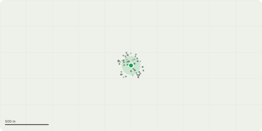
Approximate location
Proposal
Variation of condition 1 and removal of condition 5 of planning permission dated 1st October 2024 (RN 24/03863/FULL) for the Variation of condition 1 of planning permission dated 15 April 2024 (RN: 23/08592/FULL) for the: External refurbishment and works of alteration comprising the replacement of upper floor windows, refurbishment and re-configuration of ground floor shopfronts onto New Bond Street, Brook Street, installation of partially openable shopfront facing Horse Shoe Yard, creation of a new entrance at the corner of New Bond Street and Brook Street, installation of new shopfront doors to replace existing chrome gates fronting New Bond Street and replacement and installation of new rooftop plant. (SITE INCLUDES 111-117 New Bond Street). Namely, the addition of new entrance doors to the proposed office space facing Lancashire Court; removal of the curved corner retail door and replacement with an inward-opening flush glass door in the adjacent bay fronting New Bond Street (unit 1); reduce area of L5 slab demolition and alter the arrangement of mechanical plant equipment and vertical extension of L5 service lift. (Application under S73)
Key dates
- Received 17 Nov 2025
- Validated 17 Nov 2025
- Started 17 Nov 2025
- Decided 13 May 2026
Planning history / related applications
No related planning applications have been identified in the current public OGL dataset.
Inside plotEdge
Go beyond the public record
This page is the public OGL record. plotEdge adds the private intelligence layer for this site - open it in the app to unlock:
- Ownership & title Registered owner and title from HM Land Registry.
- Viability & build potential Site scoring and development upside.
- Constraints Flood risk, green belt, conservation areas and designations.
- Approval signal Planning risk and approval-likelihood analysis.
- Comparable applications Decisions on similar nearby sites, side by side.
- Status alerts Get notified the moment this application changes.
Source: public planning application data from Westminster, reused under the Open Government Licence v3.0. View the council source record. Council documents and drawings are not republished on plotEdge.