Westminster
Westminster/25/08334/NMA
Fenwicks 58 - 63 New Bond Street London W1S 1RJ
- Reference
- Westminster/25/08334/NMA
- Authority
- Westminster
- Application type
- Non-material amendment
- Address
- Fenwicks 58 - 63 New Bond Street London W1S 1RJ
- Postcode
- W1S 1RJ
- Status
- Decided
- Decision
- Application Permitted
- Received
- 14 Nov 2025
- Validated
- 14 Nov 2025
- Started
- 14 Nov 2025
- Decided
- 5 Jan 2026
- Source council
- Westminster
- Council source record
- View public record
- Public data licence
- Open Government Licence v3.0
- Record updated
- 11 Aug 2026
- SEO index generated
- 12 Aug 2026
Location
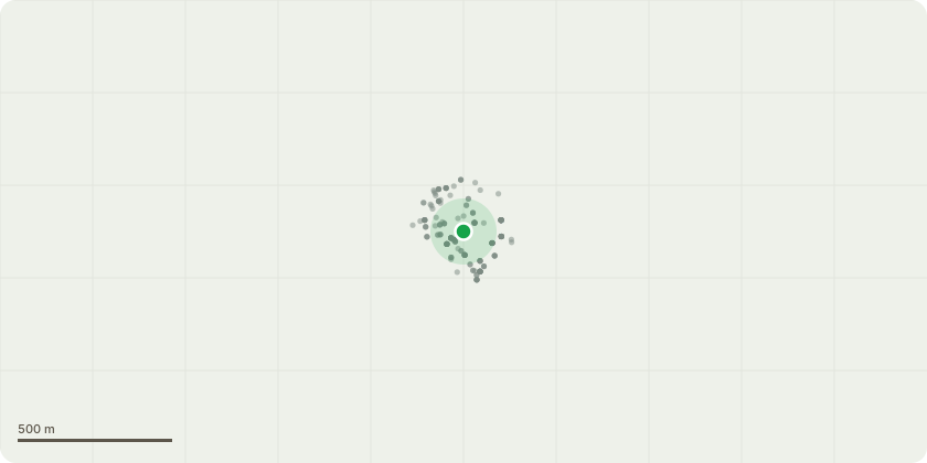
Approximate location
Proposal
Amendments to planning permission dated 17 May 2024 (RN: 23/08027/FULL) for SITE COMPRISING 53-63 NEW BOND STREET / 5-17 / 17A BROOK STREET: Alteration and extension of the existing buildings, including partial demolition and retention and retrofit to provide a building with basement, ground and ten upper floors, setback at fifth to eighth floors with terraces, setback at ninth floor with terrace and plant, and a roof terrace with lift overrun and pavilion at the tenth floor, with satellite dish, green roof and solar photovoltaic panels on its roof, and associated works, to provide for retail (Class E(a)) and office (Class E(g)(i)) uses together with associated ancillary spaces to those uses: NAMELY, amendments to planning permission dated 17/05/2024 (Ref: 23/08027/FULL) comprising minor refinements to terrace balustrades and planters; window and grille adjustments to the south and east elevations; removal of the chimney at 55-53 New Bond Street; installation of an emergency generator flue; revisions to the glazing and signage band to Retail Unit 3; window adjustments to Levels 4-5 on the Brook Street elevation; and the addition of a lightweight canopy, roof hatch and safety barrier at Level 10.
Key dates
- Received 14 Nov 2025
- Validated 14 Nov 2025
- Started 14 Nov 2025
- Decided 5 Jan 2026
Planning history / related applications
No related planning applications have been identified in the current public OGL dataset.
Inside plotEdge
Go beyond the public record
This page is the public OGL record. plotEdge adds the private intelligence layer for this site - open it in the app to unlock:
- Ownership & title Registered owner and title from HM Land Registry.
- Viability & build potential Site scoring and development upside.
- Constraints Flood risk, green belt, conservation areas and designations.
- Approval signal Planning risk and approval-likelihood analysis.
- Comparable applications Decisions on similar nearby sites, side by side.
- Status alerts Get notified the moment this application changes.
Source: public planning application data from Westminster, reused under the Open Government Licence v3.0. View the council source record. Council documents and drawings are not republished on plotEdge.