Westminster
Westminster/25/07423/LBC
6 Eccleston Square London SW1V 1NP
- Reference
- Westminster/25/07423/LBC
- Authority
- Westminster
- Application type
- Listed building consent
- Address
- 6 Eccleston Square London SW1V 1NP
- Postcode
- SW1V 1NP
- Status
- Decided
- Decision
- Application Permitted
- Received
- 14 Oct 2025
- Validated
- 30 Oct 2025
- Started
- 30 Oct 2025
- Decided
- 23 Apr 2026
- Source council
- Westminster
- Council source record
- View public record
- Public data licence
- Open Government Licence v3.0
- Record updated
- 1 Aug 2026
- SEO index generated
- 2 Aug 2026
Location
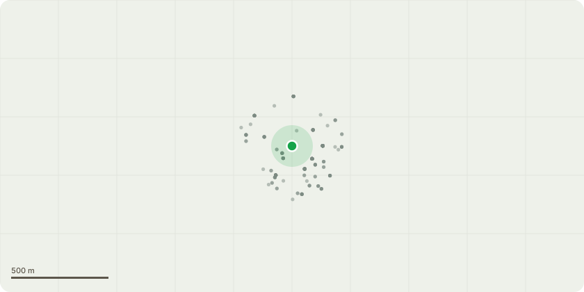
Approximate location
Proposal
Full refurbishment of Flat 6 involving the demolition of the existing modern mansard roof and dormers at 4th level, and of the terrace above the 4th Floor and creation of a new roof with a sunk terrace, recessed from both elevations, in the middle section of the roof, insertion of a hinged sky door fit in the roof and creation of an internal stair for accessing the roof terrace, layout improvement of the 4th floor with minor alterations of the bedrooms configuration and the enlargement of existing bathroom, with the provision of a skylight about the bath/ shower area, vertical extension of the existing cantilevered rear extension, with the creation of a new rear extension volume above, partially covering the existing rear extension, housing a shower area and improvement of existing WC on the landing in between the 3rd and 4th floors; layout optimization of the 3rd floor and renewal of the existing modern double-glazing windows with new like to like timber, slim line double glazed conservation windows and installation of ASHP heat pump.
Key dates
- Received 14 Oct 2025
- Validated 30 Oct 2025
- Started 30 Oct 2025
- Decided 23 Apr 2026
Planning history / related applications
No related planning applications have been identified in the current public OGL dataset.
Inside plotEdge
Go beyond the public record
This page is the public OGL record. plotEdge adds the private intelligence layer for this site - open it in the app to unlock:
- Ownership & title Registered owner and title from HM Land Registry.
- Viability & build potential Site scoring and development upside.
- Constraints Flood risk, green belt, conservation areas and designations.
- Approval signal Planning risk and approval-likelihood analysis.
- Comparable applications Decisions on similar nearby sites, side by side.
- Status alerts Get notified the moment this application changes.
Source: public planning application data from Westminster, reused under the Open Government Licence v3.0. View the council source record. Council documents and drawings are not republished on plotEdge.