Westminster
Westminster/25/04976/FULL
St Marks Court Abercorn Place NW8 9AN
- Reference
- Westminster/25/04976/FULL
- Authority
- Westminster
- Application type
- FULL
- Address
- St Marks Court Abercorn Place NW8 9AN
- Postcode
- NW8 9AN
- Status
- Pending
- Received
- 12 Aug 2025
- Started
- 12 Aug 2025
- Source council
- Westminster
- Council source record
- View public record
- Public data licence
- Open Government Licence v3.0
- Record updated
- 11 Aug 2026
- SEO index generated
- 12 Aug 2026
Location
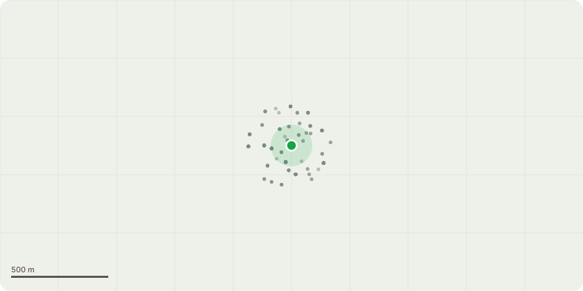
Approximate location
Proposal
Variation of condition 1, 6, 7, 9, 11, 12, 16, 17, 18, and 19 of planning permission dated 22nd July 2022 (RN: 21/06791/FULL) for the Single storey roof extension; four storey rear extension; new basement level; and reconfiguration of the existing layouts to provide 5 new residential dwellings (Class C3), additional bay windows to the facade and new entrance to Abbey Road, additional cycle parking and landscaping, and all associated works. Namely, new window/AOV to rear elevation lift lobby, new AOV to stairs at 5th floor rear elevation, staircase windows altered and reduced width, accessible flat relocated to GF, installation of external platform lift adjacent to steps on Abbey Rd elevation, changes to smoke vents Abbey Road frontage and smoke vent outlets pushed outside the retaining wall on Abbey Rd. elevation, provision of uninterrupted power supply room to power life safety systems at basement level east corner, provision of a new condenser unit at ground floor, reconfiguration of the internal stair and lobbies to allow smoke venting and fire separation, and corrections to drawings.
Key dates
- Received 12 Aug 2025
- Started 12 Aug 2025
Planning history / related applications
No related planning applications have been identified in the current public OGL dataset.
Inside plotEdge
Go beyond the public record
This page is the public OGL record. plotEdge adds the private intelligence layer for this site - open it in the app to unlock:
- Ownership & title Registered owner and title from HM Land Registry.
- Viability & build potential Site scoring and development upside.
- Constraints Flood risk, green belt, conservation areas and designations.
- Approval signal Planning risk and approval-likelihood analysis.
- Comparable applications Decisions on similar nearby sites, side by side.
- Status alerts Get notified the moment this application changes.
Source: public planning application data from Westminster, reused under the Open Government Licence v3.0. View the council source record. Council documents and drawings are not republished on plotEdge.