West Berkshire
West Berkshire/26/00378/LBC
The Old Forge Eastbury Hungerford
- Reference
- West Berkshire/26/00378/LBC
- Authority
- West Berkshire
- Application type
- Listed building consent
- Address
- The Old Forge Eastbury Hungerford
- Status
- Decided
- Decision
- Approval
- Received
- 18 Feb 2026
- Validated
- 19 Feb 2026
- Started
- 19 Feb 2026
- Decided
- 17 Apr 2026
- Source council
- West Berkshire
- Council source record
- View public record
- Public data licence
- Open Government Licence v3.0
- Record updated
- 6 Aug 2026
- SEO index generated
- 7 Aug 2026
Location
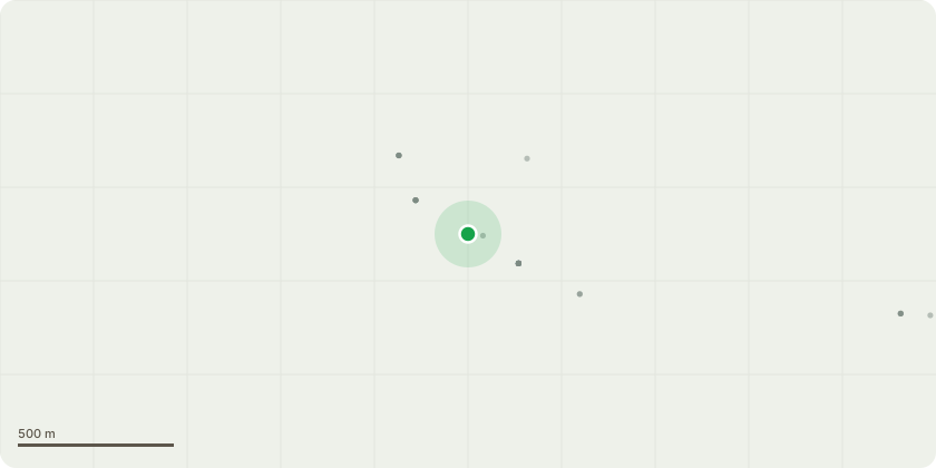
Approximate location
Proposal
Repairs are required due to deterioration of the roof structure and chimneys, in order to secure the building's safety and ensure its long-term preservation. Works will include: Temporary removal of roof tiles. Dismantling of chimneys to below roof height. Repair and replacement of defective structural elements where necessary. Reinstatement to the original form and appearance. All works will be undertaken by specialist historic-building trades people using traditional materials and techniques. Materials and MethodologyApproximately 80% of existing roof tiles are reusable, with salvaged tiles on site used to replace damaged units. Reclaimed bricks are available to rebuild the chimneys as replicas; any additional materials will be carefully sourced to match. Lime mortar will be used for masonry works, with traditional methods for timber repairs. Original timbers will be retained wherever possible, with like-for-like replacements used only where necessary. No alterations are proposed to windows, doors, or the building footprint.
Key dates
- Received 18 Feb 2026
- Validated 19 Feb 2026
- Started 19 Feb 2026
- Decided 17 Apr 2026
Planning history / related applications
No related planning applications have been identified in the current public OGL dataset.
Inside plotEdge
Go beyond the public record
This page is the public OGL record. plotEdge adds the private intelligence layer for this site - open it in the app to unlock:
- Ownership & title Registered owner and title from HM Land Registry.
- Viability & build potential Site scoring and development upside.
- Constraints Flood risk, green belt, conservation areas and designations.
- Approval signal Planning risk and approval-likelihood analysis.
- Comparable applications Decisions on similar nearby sites, side by side.
- Status alerts Get notified the moment this application changes.
Source: public planning application data from West Berkshire, reused under the Open Government Licence v3.0. View the council source record. Council documents and drawings are not republished on plotEdge.