West Berkshire
West Berkshire/25/02570/TPW
Falkland Memorial Andover Road Newbury
- Reference
- West Berkshire/25/02570/TPW
- Authority
- West Berkshire
- Application type
- TPW
- Address
- Falkland Memorial Andover Road Newbury
- Status
- Decided
- Decision
- Approval
- Received
- 5 Nov 2025
- Validated
- 5 Nov 2025
- Started
- 5 Nov 2025
- Decided
- 6 Jan 2026
- Source council
- West Berkshire
- Council source record
- View public record
- Public data licence
- Open Government Licence v3.0
- Record updated
- 6 Aug 2026
- SEO index generated
- 7 Aug 2026
Location
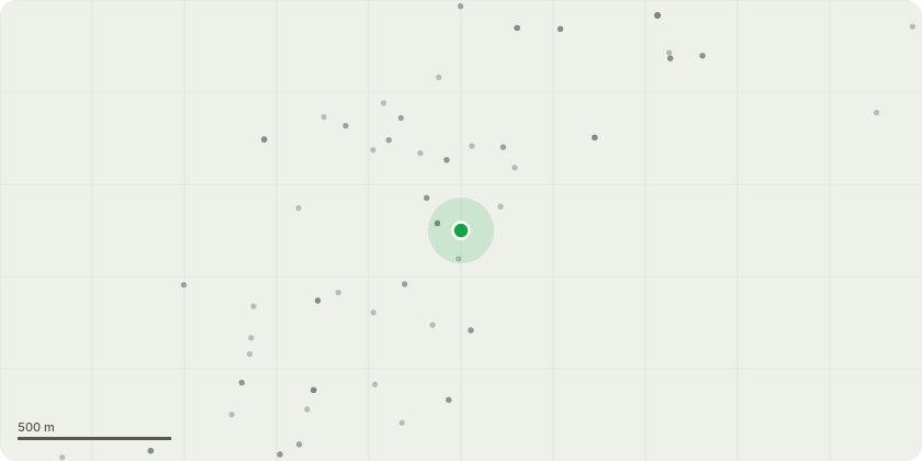
Approximate location
Proposal
G1 - Lime: During routine inspection Lime 0001 (the southernmost of a group of 5) has been observed to be a host to a species ofGanoderma with decay extending in 10cm horizontally just above ground level when probed between the buttresses on theSW side and resonance is apparent when tapped with nylon hammer. It is proposed to reduce this tree by 12m to leave asa pollard approximately 4m in height in in order to reduce leverage on the lower stem on account of the target directlybeneath and the main road within the fall radius of this tree if it were to fail at ground level.The lime trees bear metal tags numbered 0001 to 0005. All these trees require aerial deadwood removal on account of thepath and benches beneath. This group is shaded black on the accompanying map and labelled "5 Lime". The deadwoodremoval is understood to be an exempt operation.
Key dates
- Received 5 Nov 2025
- Validated 5 Nov 2025
- Started 5 Nov 2025
- Decided 6 Jan 2026
Planning history / related applications
No related planning applications have been identified in the current public OGL dataset.
Inside plotEdge
Go beyond the public record
This page is the public OGL record. plotEdge adds the private intelligence layer for this site - open it in the app to unlock:
- Ownership & title Registered owner and title from HM Land Registry.
- Viability & build potential Site scoring and development upside.
- Constraints Flood risk, green belt, conservation areas and designations.
- Approval signal Planning risk and approval-likelihood analysis.
- Comparable applications Decisions on similar nearby sites, side by side.
- Status alerts Get notified the moment this application changes.
Source: public planning application data from West Berkshire, reused under the Open Government Licence v3.0. View the council source record. Council documents and drawings are not republished on plotEdge.