West Berkshire
West Berkshire/24/02421/NONMAT
Thatcham Memorial Playing Fields Brownsfield Road Thatcham
- Reference
- West Berkshire/24/02421/NONMAT
- Authority
- West Berkshire
- Application type
- NONMAT
- Address
- Thatcham Memorial Playing Fields Brownsfield Road Thatcham
- Status
- Decided
- Decision
- Withdrawn
- Received
- 14 Nov 2024
- Validated
- 19 Nov 2024
- Started
- 19 Nov 2024
- Decided
- 26 Nov 2024
- Source council
- West Berkshire
- Council source record
- View public record
- Public data licence
- Open Government Licence v3.0
- Record updated
- 6 Aug 2026
- SEO index generated
- 7 Aug 2026
Location
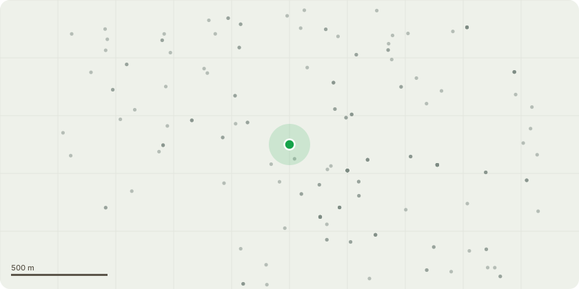
Approximate location
Proposal
Application for a Non-Material Amendment Following a Grant of Planning Permission 23/02187/FULMAJ - The proposed scheme will have a capacity of 3200m3 and will comprise the construction of a detention basin with an area of 0.78 hectares in the western field. A 3m wide swale is proposed in the eastern field and will be 120m in length and c. 0.5m deep. A bund 280m in length will run along the southern perimeter of the basin and swale and will vary in height from a maximum of 0.3m high to an average of 0.2m high along its length. The crest of the bund will be set at 79.20m AOD and will accommodate a 15m wide spillway at a level of 79.05m AOD. The detention basin will comprise two areas, a higher level set at 78.50m AOD and a lower area set at 78.30m AOD. The basin will also comprise a stilling basin set at a level of 78.10m AOD. A 450mm diameter pipe will convey flows from the basin to the existing Thames Water 750mm surface water sewer via a control structure to the east of the basin. A 3.0m wide access track is proposed around the northern boundary of the basin to facilitate access for maintenance and a 2m track along the bund at the southern edge of the basin. The bund to the south of the swale will comprise a 1.0m wide crest which will facilitate maintenance. The provision of a 2m wide foot bridge is also proposed over the swale to ensure access is maintained from the north to the south of the fields. To mitigate the loss of cricket facilities a new three lane non turf cricket practice net and new non turf pitch are to be installed within Brown's Sports Field. Amendments: i) Realigning the footpath through the trees (dig and no dig construction for the footpath), ii) Installing a fence line to delineate the flood alleviation scheme lands from the TMF (Thatcham Memorial Foundation) lands, iii) Planting of 8 oak trees to the east of the site adjacent to the new footpath (within TMF lands and south of the scheme)
Key dates
- Received 14 Nov 2024
- Validated 19 Nov 2024
- Started 19 Nov 2024
- Decided 26 Nov 2024
Planning history / related applications
No related planning applications have been identified in the current public OGL dataset.
Inside plotEdge
Go beyond the public record
This page is the public OGL record. plotEdge adds the private intelligence layer for this site - open it in the app to unlock:
- Ownership & title Registered owner and title from HM Land Registry.
- Viability & build potential Site scoring and development upside.
- Constraints Flood risk, green belt, conservation areas and designations.
- Approval signal Planning risk and approval-likelihood analysis.
- Comparable applications Decisions on similar nearby sites, side by side.
- Status alerts Get notified the moment this application changes.
Source: public planning application data from West Berkshire, reused under the Open Government Licence v3.0. View the council source record. Council documents and drawings are not republished on plotEdge.