West Berkshire
West Berkshire/24/01518/AGRIC
Land South Of Little Hidden Farm Wantage Road Newtown Hungerford
- Reference
- West Berkshire/24/01518/AGRIC
- Authority
- West Berkshire
- Application type
- AGRIC
- Address
- Land South Of Little Hidden Farm Wantage Road Newtown Hungerford
- Status
- Decided
- Decision
- Not required
- Received
- 17 Jul 2024
- Validated
- 23 Jul 2024
- Started
- 23 Jul 2024
- Decided
- 6 Aug 2024
- Source council
- West Berkshire
- Council source record
- View public record
- Public data licence
- Open Government Licence v3.0
- Record updated
- 6 Aug 2026
- SEO index generated
- 7 Aug 2026
Location
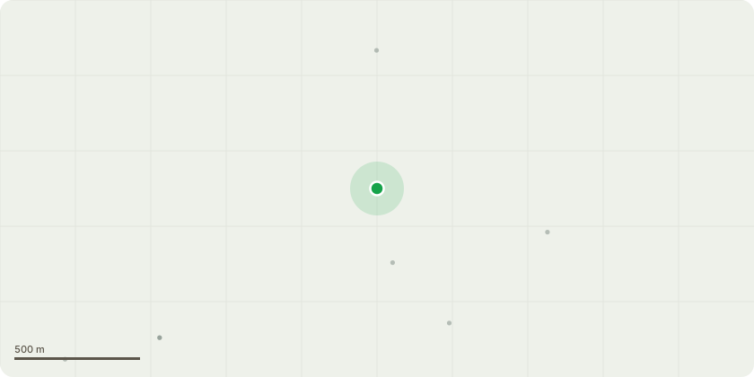
Approximate location
Proposal
Application to determine if prior approval is required for a proposed:New building The structure being proposed is a workshop and store for tools for green wood working and management of the woodland around the farm. The tools are used for green wood working, coppicing and some habitat clearance for the Duke of Burgundy butterfly. The structure will be an open sided shelter with a symmetric two pitch roof. The shelter to be 5 metres wide across the 2 pitches, 9 metres long, 2 metres high at the eaves and 3 metres high at the ridge. The roof to be of green steel box profile on a wooden frame supported on wooden pillars. Each of the wooden pillars to be mounted in a concrete foundation. The structure will be located in the former chicken run to the south of the farmhouse garden & goose run, approximately 50 metres from the farm house. During the summer it will be hidden by the foliage on the scrub & trees in the former chicken run. During winter it may be visible from the farmyard only and even then only if you know where to look.
Key dates
- Received 17 Jul 2024
- Validated 23 Jul 2024
- Started 23 Jul 2024
- Decided 6 Aug 2024
Planning history / related applications
No related planning applications have been identified in the current public OGL dataset.
Inside plotEdge
Go beyond the public record
This page is the public OGL record. plotEdge adds the private intelligence layer for this site - open it in the app to unlock:
- Ownership & title Registered owner and title from HM Land Registry.
- Viability & build potential Site scoring and development upside.
- Constraints Flood risk, green belt, conservation areas and designations.
- Approval signal Planning risk and approval-likelihood analysis.
- Comparable applications Decisions on similar nearby sites, side by side.
- Status alerts Get notified the moment this application changes.
Source: public planning application data from West Berkshire, reused under the Open Government Licence v3.0. View the council source record. Council documents and drawings are not republished on plotEdge.