Wandsworth
Wandsworth/2026/3243
Battersea Power Station development site SW8 5BN
- Reference
- Wandsworth/2026/3243
- Authority
- Wandsworth
- Application type
- Variation of Condition
- Address
- Battersea Power Station development site SW8 5BN
- Postcode
- SW8 5BN
- Status
- NEW
- Received
- 10 Sept 2026
- Started
- 10 Sept 2026
- Source council
- Wandsworth
- Council source record
- View public record
- Public data licence
- Open Government Licence v3.0
- Record updated
- 12 Sept 2026
- SEO index generated
- 13 Sept 2026
Location
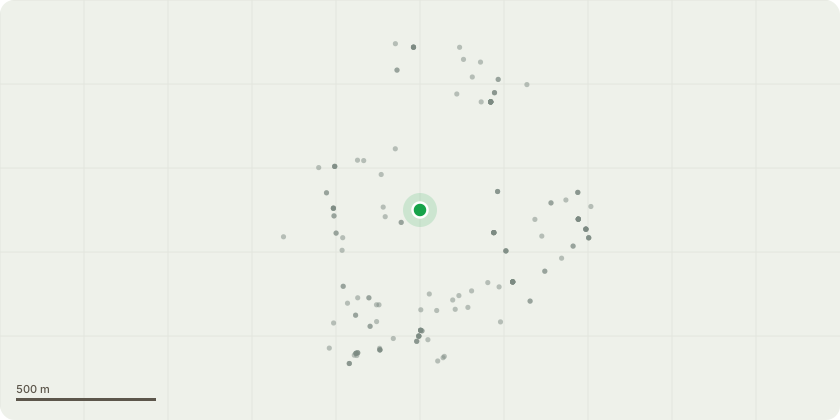
Approximate location
Proposal
Variation of conditions 3 (Reserved Matters), 5 (Architectural Design Code), 6 (Placemaking Code), 7 (Parameter Plans), 8 (Land Uses), 10 (Distribution of Land Uses), 11 (Development Zone Land Uses), 13 (Maximum Residential units), 14 (Residential Mix), 18 (Phasing Plan), 20 (Car Parking), 21 (Residential Car Parking Spaces) and 61 (Approved Drawings) to outline planning permission dated 25th September 2020 (ref. 2020/0579) for: "the restoration, extension, alterations and conversion of the Power Station building to provide retail, residential flats, business, cultural, hotel and conference facilities, event space and incidental accommodation; the demolition of other buildings and development of the land surrounding the Power Station and adjacent/nearby sites to provide retail, restaurants bars and cafes, offices, hotel, residential, community and cultural space, assembly and leisure space, serviced apartments, an energy centre and basement plant; parking for cars, coaches, motorcycles and bicycles; new access and internal road system and servicing; 'off-site' highway works; works to the jetty and riverwall to facilitate river transport and fuel delivery; provision of open space and landscaping." The planning application is accompanied by an Environmental Statement Addendum
Key dates
- Received 10 Sept 2026
- Started 10 Sept 2026
Planning history / related applications
No related planning applications have been identified in the current public OGL dataset.
Inside plotEdge
Go beyond the public record
This page is the public OGL record. plotEdge adds the private intelligence layer for this site - open it in the app to unlock:
- Ownership & title Registered owner and title from HM Land Registry.
- Viability & build potential Site scoring and development upside.
- Constraints Flood risk, green belt, conservation areas and designations.
- Approval signal Planning risk and approval-likelihood analysis.
- Comparable applications Decisions on similar nearby sites, side by side.
- Status alerts Get notified the moment this application changes.
Source: public planning application data from Wandsworth, reused under the Open Government Licence v3.0. View the council source record. Council documents and drawings are not republished on plotEdge.