Wandsworth
Wandsworth/2026/3083
2-26 Minstead Gardens, 68-86 Minstead Gardens, 245-261 Danebury Avenue SW15 4EB
- Reference
- Wandsworth/2026/3083
- Authority
- Wandsworth
- Application type
- Alter or Extend a Listed Building
- Address
- 2-26 Minstead Gardens, 68-86 Minstead Gardens, 245-261 Danebury Avenue SW15 4EB
- Postcode
- SW15 4EB
- Status
- NEW
- Received
- 27 Aug 2026
- Started
- 27 Aug 2026
- Source council
- Wandsworth
- Council source record
- View public record
- Public data licence
- Open Government Licence v3.0
- Record updated
- 28 Aug 2026
- SEO index generated
- 29 Aug 2026
Location
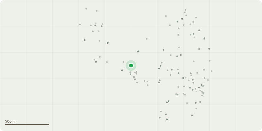
Approximate location
Proposal
Fire Sprinkler InstallatiInstall automatic fire sprinkler systems in all bungalow units, compliant with BS 9251:2021(Fire sprinkler systems for domestic and residential occupancies).Position sprinkler heads in wall of living areas/bedrooms, and kitchens, as detailed in accompanying drawings (sections and details provided in appendix).Use concealed sprinkler heads where possible to minimize visual impact. Fire Sprinkler Pipework:The pipework will be installed at a depth of 750mm, comprising 63mm and 32mm MDPE pipes.Boxing-In of Pipework:Encase internal pipework in two sided `L¿ shaped Pipe & Fire Sprinkler boxing prefinished to match existing wall finishes.Design boxing to be reversible, fixed with screws rather than permanent adhesives, to protect the historic fabric.Locate boxing along wall-ceiling junctions or in unobtrusive corners, as shown in provided sectional drawings, to maintain clear floor space (Refer to Bown drawings in Appendix).
Key dates
- Received 27 Aug 2026
- Started 27 Aug 2026
Planning history / related applications
No related planning applications have been identified in the current public OGL dataset.
Inside plotEdge
Go beyond the public record
This page is the public OGL record. plotEdge adds the private intelligence layer for this site - open it in the app to unlock:
- Ownership & title Registered owner and title from HM Land Registry.
- Viability & build potential Site scoring and development upside.
- Constraints Flood risk, green belt, conservation areas and designations.
- Approval signal Planning risk and approval-likelihood analysis.
- Comparable applications Decisions on similar nearby sites, side by side.
- Status alerts Get notified the moment this application changes.
Source: public planning application data from Wandsworth, reused under the Open Government Licence v3.0. View the council source record. Council documents and drawings are not republished on plotEdge.