Uttlesford
Uttlesford/UTT/26/0415/NMA
Former Friends School Field Mount Pleasant Road Saffron Walden Essex
- Reference
- Uttlesford/UTT/26/0415/NMA
- Authority
- Uttlesford
- Application type
- Non-material amendment
- Address
- Former Friends School Field Mount Pleasant Road Saffron Walden Essex
- Status
- Approved
- Decision
- Approve
- Received
- 16 Feb 2026
- Validated
- 16 Feb 2026
- Started
- 16 Feb 2026
- Decided
- 20 May 2026
- Source council
- Uttlesford
- Council source record
- View public record
- Public data licence
- Open Government Licence v3.0
- Record updated
- 6 Aug 2026
- SEO index generated
- 7 Aug 2026
Location
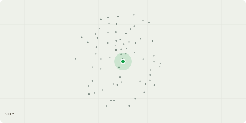
Approximate location
Proposal
Non Material Amendment to UTT/25/1343/PINS / S62A/2025/0107 - repositioning of sub-station from opposite plots 3 and 4 to the north-eastern corner of the site. Amendment to correctly show plot 21 on the site plans and reduce the bin and cycle storage to plot 20. A separate kitchen/diner proposed at ground level in the FOG unit, relocating the door to the rear car court and one additional window on the ground floor. Amend the wording of condition 23 to 'Prior to any above ground works, a timetable for the delivery of the pedestrian link from Mount Pleasant Road through the site to Greenways as shown in principle on Layout Masterplan drawing no. 23110(D)006 shall be submitted to and approved in writing by the Local Planning Authority. The footpath shall thereafter be delivered in accordance with the approved timetable and retained thereafter.'
Key dates
- Received 16 Feb 2026
- Validated 16 Feb 2026
- Started 16 Feb 2026
- Decided 20 May 2026
Planning history / related applications
No related planning applications have been identified in the current public OGL dataset.
Inside plotEdge
Go beyond the public record
This page is the public OGL record. plotEdge adds the private intelligence layer for this site - open it in the app to unlock:
- Ownership & title Registered owner and title from HM Land Registry.
- Viability & build potential Site scoring and development upside.
- Constraints Flood risk, green belt, conservation areas and designations.
- Approval signal Planning risk and approval-likelihood analysis.
- Comparable applications Decisions on similar nearby sites, side by side.
- Status alerts Get notified the moment this application changes.
Source: public planning application data from Uttlesford, reused under the Open Government Licence v3.0. View the council source record. Council documents and drawings are not republished on plotEdge.