Tower Hamlets
Tower Hamlets/PA/25/00452/NC
Site bounded by Worship Street, Curtain Road, Scrutton Street and Holywell Row, EC2A
- Reference
- Tower Hamlets/PA/25/00452/NC
- Authority
- Tower Hamlets
- Application type
- NC
- Address
- Site bounded by Worship Street, Curtain Road, Scrutton Street and Holywell Row, EC2A
- Status
- Decided
- Decision
- No Objection (Observations Applications)
- Received
- 10 Mar 2025
- Validated
- 10 Mar 2025
- Started
- 10 Mar 2025
- Decided
- 8 Apr 2025
- Source council
- Tower Hamlets
- Council source record
- View public record
- Public data licence
- Open Government Licence v3.0
- Record updated
- 6 Aug 2026
- SEO index generated
- 7 Aug 2026
Location
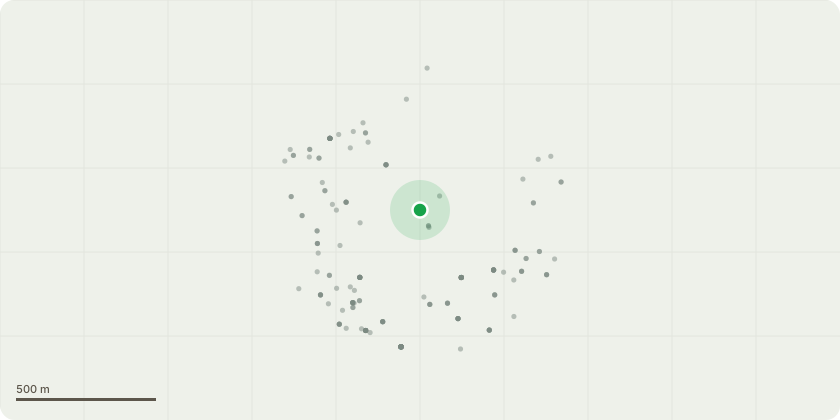
Approximate location
Proposal
Observations requested by LB Hackney in relation to the redevelopment of the majority of an urban block by demolition and part demolition of existing buildings to facilitate an office-led, mixed use development by the erection of six buildings with maximum heights of between 6 and 18 storeys (plus 2 storeys of plant) plus basements, the erection of a terrace mews of six buildings of 2 storeys, and the refurbishment and/or extension of Nos. 26-24 Holywell Row, Nos. 42-46 Scrutton Street and Nos. 87-105 Worship Street; in order to provide 67742sqm of office (Use Class E), 3848sqm of retail floorspace (Use Class E), 78 residential units (Use Class C3) uses), an 871sqm Urban Room (Sui Generis), together with creation of a new central courtyard and pedestrian routes through the site, hard and soft landscaping and other associated and ancillary works (in association with Listed Building Consent 2024/2162). [Description for the purposes of consultation only]. This application is accompanied by an Environmental Impact Assessment.
Key dates
- Received 10 Mar 2025
- Validated 10 Mar 2025
- Started 10 Mar 2025
- Decided 8 Apr 2025
Planning history / related applications
No related planning applications have been identified in the current public OGL dataset.
Inside plotEdge
Go beyond the public record
This page is the public OGL record. plotEdge adds the private intelligence layer for this site - open it in the app to unlock:
- Ownership & title Registered owner and title from HM Land Registry.
- Viability & build potential Site scoring and development upside.
- Constraints Flood risk, green belt, conservation areas and designations.
- Approval signal Planning risk and approval-likelihood analysis.
- Comparable applications Decisions on similar nearby sites, side by side.
- Status alerts Get notified the moment this application changes.
Source: public planning application data from Tower Hamlets, reused under the Open Government Licence v3.0. View the council source record. Council documents and drawings are not republished on plotEdge.