Torbay
Torbay/AT/2026/0277
Lower Flat 10 Somerset Court Mount Pleasant Road Brixham TQ5 9RX
- Reference
- Torbay/AT/2026/0277
- Authority
- Torbay
- Address
- Lower Flat 10 Somerset Court Mount Pleasant Road Brixham TQ5 9RX
- Postcode
- TQ5 9RX
- Status
- Registered
- Received
- 15 Oct 2026
- Started
- 15 Oct 2026
- Source council
- Torbay
- Council source record
- View public record
- Public data licence
- Open Government Licence v3.0
- Record updated
- 16 Oct 2026
- SEO index generated
- 21 Oct 2026
Location
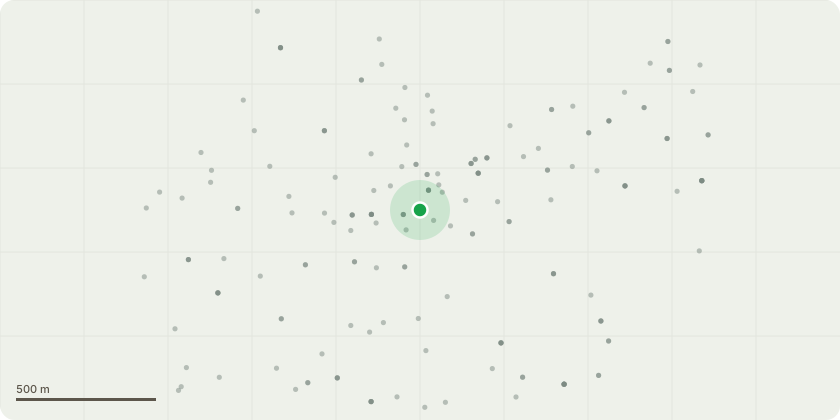
Approximate location
Proposal
T1 The Magnolia is situated within a very restricted residential garden, where the crown occupies a substantial proportion of the available space. The proposed works are repeat cyclical crown management, following previously approved works under AT 2020 0248 rather than a new or substantially different intervention. T1 Magnolia - proposed works Undertake a selective crown reduction, shortening branches by up to 1.5 metres from the existing crown tips across the upper and lateral crown, pruning to suitable live lateral branches while retaining a balanced crown form and adequate foliage. Avoid topping and indiscriminate cutting. Carry out the works in accordance with BS 3998 2010.Management intention - Review the crown at approximately five year intervals, with further pruning subject to the trees condition, regrowth and any notification or consent requirements applicable at that time.This approach will enable the Magnolia to be retained successfully within its restricted garden setting and will maintain its contribution to the character and amenity of the Conservation Area.
Key dates
- Received 15 Oct 2026
- Started 15 Oct 2026
Planning history / related applications
No related planning applications have been identified in the current public OGL dataset.
Inside plotEdge
Go beyond the public record
This page is the public OGL record. plotEdge adds the private intelligence layer for this site - open it in the app to unlock:
- Ownership & title Registered owner and title from HM Land Registry.
- Viability & build potential Site scoring and development upside.
- Constraints Flood risk, green belt, conservation areas and designations.
- Approval signal Planning risk and approval-likelihood analysis.
- Comparable applications Decisions on similar nearby sites, side by side.
- Status alerts Get notified the moment this application changes.
Source: public planning application data from Torbay, reused under the Open Government Licence v3.0. View the council source record. Council documents and drawings are not republished on plotEdge.