Torbay
Torbay/AT/2026/0273
45 Braddons Hill Road East Torquay TQ1 1HB
- Reference
- Torbay/AT/2026/0273
- Authority
- Torbay
- Address
- 45 Braddons Hill Road East Torquay TQ1 1HB
- Postcode
- TQ1 1HB
- Status
- Registered
- Received
- 5 Oct 2026
- Started
- 5 Oct 2026
- Source council
- Torbay
- Council source record
- View public record
- Public data licence
- Open Government Licence v3.0
- Record updated
- 6 Oct 2026
- SEO index generated
- 10 Oct 2026
Location
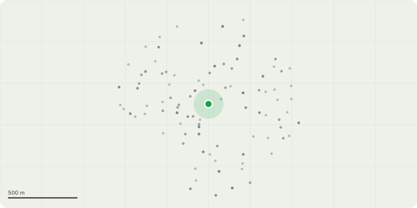
Approximate location
Proposal
T1 Horse Chestnut - To prune back remove large primary stem showing significant signs of deterioration with a decline in vitality, bark/cambial die back and dead wood, back to main union divide.Reason: The horse chestnut is in a visible state of decline and exhibits significant physiological and structural defects, including extensive cambial dieback, visible stem cankers, and evidence of internal decay within the stem being removed. The lose of leaf within the crown compared to adjacent stem potentially indicates a progressive deterioration of the tree's vascular and structural integrity, reducing its ability to compartmentalise the main stem deadwood/decay wounds potentially affecting the stems stability. The presence of decay within the stem to be removed, combined with active canker lesions and declining vitality, increases the risk of stem failure and branch loss on the southern side of the tree. Given the extent of the defects and the potential risk posed to home owner and property, removal of the stem identified is considered both valid and the most appropriate management option.
Key dates
- Received 5 Oct 2026
- Started 5 Oct 2026
Planning history / related applications
No related planning applications have been identified in the current public OGL dataset.
Inside plotEdge
Go beyond the public record
This page is the public OGL record. plotEdge adds the private intelligence layer for this site - open it in the app to unlock:
- Ownership & title Registered owner and title from HM Land Registry.
- Viability & build potential Site scoring and development upside.
- Constraints Flood risk, green belt, conservation areas and designations.
- Approval signal Planning risk and approval-likelihood analysis.
- Comparable applications Decisions on similar nearby sites, side by side.
- Status alerts Get notified the moment this application changes.
Source: public planning application data from Torbay, reused under the Open Government Licence v3.0. View the council source record. Council documents and drawings are not republished on plotEdge.