Torbay
Torbay/AT/2026/0271
8 Cecil Avenue Paignton TQ3 1LW
- Reference
- Torbay/AT/2026/0271
- Authority
- Torbay
- Address
- 8 Cecil Avenue Paignton TQ3 1LW
- Postcode
- TQ3 1LW
- Status
- Registered
- Received
- 29 Sept 2026
- Started
- 29 Sept 2026
- Source council
- Torbay
- Council source record
- View public record
- Public data licence
- Open Government Licence v3.0
- Record updated
- 30 Sept 2026
- SEO index generated
- 9 Oct 2026
Location
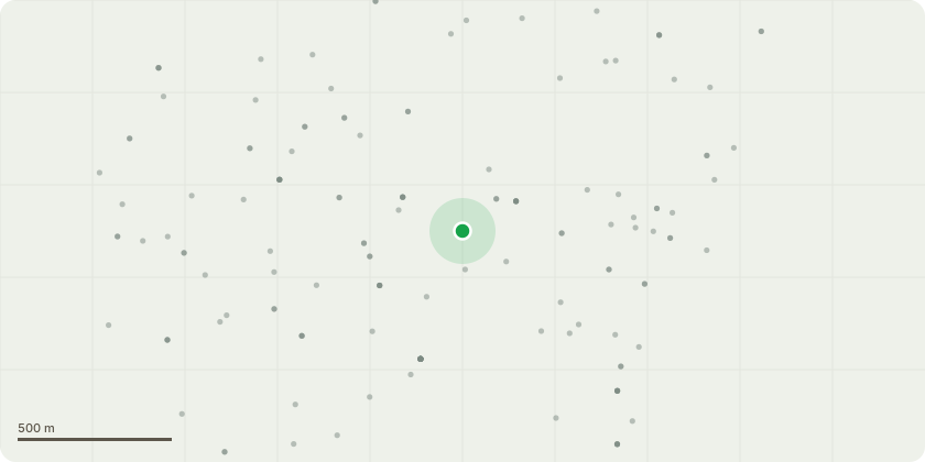
Approximate location
Proposal
T1 - Holm Oak Recommended works:Establish a pollard framework by removing the three substantial lateral branches at the positions indicated by the red markings in Photograph 3. The proposed works are intended to reduce the extensive lateral crown and associated mechanical loading from the tree's pronounced lean, while retaining the tree.Cyclical management: Following establishment, implement a seven-year cyclical pollarding regime to manage regrowth, control crown size, and limit excessive loading on the retained framework. Inspect the developing pollard heads periodically, particularly during the initial establishment period, to assess shoot attachment, structural condition and physiological response.All works should be undertaken in accordance with BS 3998:2010, subject to confirmation that the proposed cutting positions and degree of crown removal are appropriate following an on-site assessment.The seven-year interval is the proposed management objective and should be reviewed based on the tree's regrowth and structural condition.
Key dates
- Received 29 Sept 2026
- Started 29 Sept 2026
Planning history / related applications
No related planning applications have been identified in the current public OGL dataset.
Inside plotEdge
Go beyond the public record
This page is the public OGL record. plotEdge adds the private intelligence layer for this site - open it in the app to unlock:
- Ownership & title Registered owner and title from HM Land Registry.
- Viability & build potential Site scoring and development upside.
- Constraints Flood risk, green belt, conservation areas and designations.
- Approval signal Planning risk and approval-likelihood analysis.
- Comparable applications Decisions on similar nearby sites, side by side.
- Status alerts Get notified the moment this application changes.
Source: public planning application data from Torbay, reused under the Open Government Licence v3.0. View the council source record. Council documents and drawings are not republished on plotEdge.