Torbay
Torbay/AT/2026/0269
8 Ben Venue Close Torquay TQ1 1RX
- Reference
- Torbay/AT/2026/0269
- Authority
- Torbay
- Address
- 8 Ben Venue Close Torquay TQ1 1RX
- Postcode
- TQ1 1RX
- Status
- Registered
- Received
- 29 Sept 2026
- Started
- 29 Sept 2026
- Source council
- Torbay
- Council source record
- View public record
- Public data licence
- Open Government Licence v3.0
- Record updated
- 30 Sept 2026
- SEO index generated
- 6 Oct 2026
Location
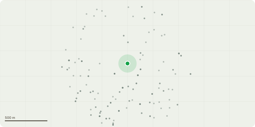
Approximate location
Proposal
T1 - Western Red CedarProposed works: Fell Reason for worksT1 is an established Western red cedar growing in exceptionally close proximity to an existing stone boundary wall. Photographic evidence indicates that the lower stem is in direct contact with the masonry, creating a physical conflict between the tree and the structure.Continued radial growth of the stem could exert further pressure on the wall, resulting in progressive displacement and deterioration of the masonry. The close relationship between the stem and the wall also restricts access for inspection, maintenance and necessary repairs.The tree's position presents a long-term management conflict. Crown reduction would not resolve the fundamental issue at the base of the tree, as it would not prevent continued radial stem growth. Felling is recommended as a permanent way to resolve the physical conflict between the tree and the boundary wall, prevent further interference from stem growth, and facilitate any necessary structural repairs.This recommendation is based primarily on the tree's unsuitable position relative to the existing structure and the limited practical options for a sustainable long-term solution.Based on its apparent size and maturity, it is possible that the tree was planted after the original Tree Preservation Order (TPO) was established.
Key dates
- Received 29 Sept 2026
- Started 29 Sept 2026
Planning history / related applications
No related planning applications have been identified in the current public OGL dataset.
Inside plotEdge
Go beyond the public record
This page is the public OGL record. plotEdge adds the private intelligence layer for this site - open it in the app to unlock:
- Ownership & title Registered owner and title from HM Land Registry.
- Viability & build potential Site scoring and development upside.
- Constraints Flood risk, green belt, conservation areas and designations.
- Approval signal Planning risk and approval-likelihood analysis.
- Comparable applications Decisions on similar nearby sites, side by side.
- Status alerts Get notified the moment this application changes.
Source: public planning application data from Torbay, reused under the Open Government Licence v3.0. View the council source record. Council documents and drawings are not republished on plotEdge.