Torbay
Torbay/AT/2026/0230
9 Marlborough Avenue Torquay TQ1 1TT
- Reference
- Torbay/AT/2026/0230
- Authority
- Torbay
- Address
- 9 Marlborough Avenue Torquay TQ1 1TT
- Postcode
- TQ1 1TT
- Status
- Registered
- Received
- 25 Aug 2026
- Started
- 25 Aug 2026
- Source council
- Torbay
- Council source record
- View public record
- Public data licence
- Open Government Licence v3.0
- Record updated
- 26 Aug 2026
- SEO index generated
- 31 Aug 2026
Location
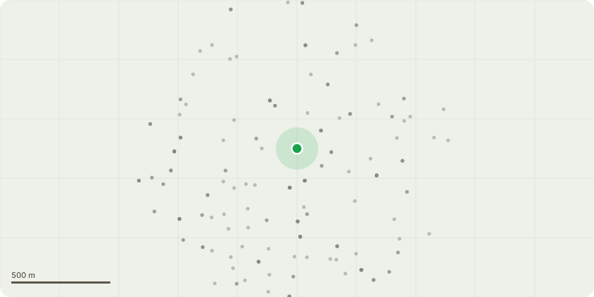
Approximate location
Proposal
T1 Yew is highly tolerant of pruning, responds well to cyclical management, and retains good vitality and crown density after reduction. A modest 1.5?m crown reduction on a 5-year cycle is therefore proportionate, sustainable, and appropriate for the long-term management of this tree in its constrained position.The tree exhibits a pronounced downslope lean, damaging the garden steps and increasing the risk of progressive deformation and further structural impact on them. A light cyclical reduction will reduce end-weight, limit further displacement, and maintain the tree in a safe and suitable condition.T2 Pine selective reduction of the lowest-order branch by approximately 3?m to reduce end-weight and manage encroachment towards neighbouring houses and gardens. No alteration to the main crown structure.The tree displays a significant downslope lean, with the lower crown targeting neighbouring houses and gardens. The lowest-order branch carries disproportionate end-weight on the tension side of the lean, increasing the risk of progressive deformation and conflict with adjacent properties. A targeted 3?m reduction of this limb will reduce loading, limit further displacement, and maintain safe clearance.The proposed work is therefore proportionate, sustainable, and appropriate for the long-term management of the tree in its constrained position.
Key dates
- Received 25 Aug 2026
- Started 25 Aug 2026
Planning history / related applications
No related planning applications have been identified in the current public OGL dataset.
Inside plotEdge
Go beyond the public record
This page is the public OGL record. plotEdge adds the private intelligence layer for this site - open it in the app to unlock:
- Ownership & title Registered owner and title from HM Land Registry.
- Viability & build potential Site scoring and development upside.
- Constraints Flood risk, green belt, conservation areas and designations.
- Approval signal Planning risk and approval-likelihood analysis.
- Comparable applications Decisions on similar nearby sites, side by side.
- Status alerts Get notified the moment this application changes.
Source: public planning application data from Torbay, reused under the Open Government Licence v3.0. View the council source record. Council documents and drawings are not republished on plotEdge.