Torbay
Torbay/AT/2026/0229
Anchor Stone Watcombe Heights Road Torquay TQ1 4SG
- Reference
- Torbay/AT/2026/0229
- Authority
- Torbay
- Address
- Anchor Stone Watcombe Heights Road Torquay TQ1 4SG
- Postcode
- TQ1 4SG
- Status
- Registered
- Received
- 24 Aug 2026
- Started
- 24 Aug 2026
- Source council
- Torbay
- Council source record
- View public record
- Public data licence
- Open Government Licence v3.0
- Record updated
- 25 Aug 2026
- SEO index generated
- 28 Aug 2026
Location
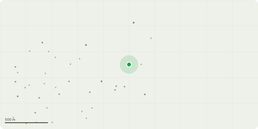
Approximate location
Proposal
T1, T2 and T3 Ash: Fell to near-ground level without stump grinding, as this would risk damaging the roots of neighbouring trees within the G1.The trees show symptoms consistent with Ash Dieback (Hymenoscyphus fraxineus), including crown thinning, deadwood, and progressive structural decline. Several stems are heavily entangled with neighbouring trees, causing ongoing bark damage and creating points of infection and decay. The interlocking crowns prevent normal movement, increase mechanical stress, and raise the likelihood of partial or whole-tree failure within falling distance of the property boundary and adjacent structures.Given the combination of ADB infection, mechanical stress from entanglement, and progressive bark damage, removal is the proportionate measure to manage foreseeable risk in accordance with NTSG principles.Replacement planting is proposed as follows: Two native, small-to-medium trees will be planted within the garden boundary ? Field Maple (Acer campestre) and Rowan (Sorbus aucuparia) ? each supplied in 10?12?L containers at a height of 1.5?1.75?m. Trees will be positioned to avoid conflict with buildings and the retained woodland canopy, staked and guarded, and maintained for a minimum of three years to ensure establishment.
Key dates
- Received 24 Aug 2026
- Started 24 Aug 2026
Planning history / related applications
No related planning applications have been identified in the current public OGL dataset.
Inside plotEdge
Go beyond the public record
This page is the public OGL record. plotEdge adds the private intelligence layer for this site - open it in the app to unlock:
- Ownership & title Registered owner and title from HM Land Registry.
- Viability & build potential Site scoring and development upside.
- Constraints Flood risk, green belt, conservation areas and designations.
- Approval signal Planning risk and approval-likelihood analysis.
- Comparable applications Decisions on similar nearby sites, side by side.
- Status alerts Get notified the moment this application changes.
Source: public planning application data from Torbay, reused under the Open Government Licence v3.0. View the council source record. Council documents and drawings are not republished on plotEdge.