Torbay
Torbay/AT/2026/0227
Lynway Court St Marychurch Road Torquay TQ1 3JP
- Reference
- Torbay/AT/2026/0227
- Authority
- Torbay
- Address
- Lynway Court St Marychurch Road Torquay TQ1 3JP
- Postcode
- TQ1 3JP
- Status
- Registered
- Received
- 24 Aug 2026
- Started
- 24 Aug 2026
- Source council
- Torbay
- Council source record
- View public record
- Public data licence
- Open Government Licence v3.0
- Record updated
- 25 Aug 2026
- SEO index generated
- 28 Aug 2026
Location
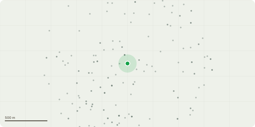
Approximate location
Proposal
T003 ? Mature lime: Pollard to the main crown break, retaining the main stem and permanent primary scaffold framework. Thereafter manage as a cyclical pollard, with re-pollarding anticipated approximately every seven years.The works are requested following a ground-based assessment and subsequent climbing inspection. The aerial inspection identified multiple cavities within load-bearing primary branches supporting substantial upright stems. Three cavities were reported to extend beyond the diameter of the affected branch when investigated using an eight-inch probe. Further cavities and significant historic pruning wounds with associated decay were also recorded. The affected crown is exposed to wind and overhangs St Marychurch Road, the unsheltered Hatfield Cross bus stop and parts of Lynway Court. The inspecting arborist considered ordinary crown reduction but concluded that it would not sufficiently address the defects distributed through the primary crown. Pollarding is therefore proposed as a tree-retention and risk-management measure, rather than removal.T004 ? Mature lime: Crown reduce from approximately 30 metres to 28 metres in height and reduce radial spread from approximately 9 metres to 7.5 metres. Retain a natural flowing canopy outline and prune to suitable growth points.The T004 works are limited to crown reduction; pollarding is not proposed for this tree. T004 has previously been crown reduced and has responded with approximately 1?1.5 metres of regrowth. The proposed reduction continues this established management approach while retaining the tree?s overall form and amenity contribution.Both trees will be retained. All works will be undertaken by a competent and appropriately insured arboricultural contractor in accordance with the approved specification and BS 3998:2010, subject to appropriate ecological and highway-safety controls.
Key dates
- Received 24 Aug 2026
- Started 24 Aug 2026
Planning history / related applications
No related planning applications have been identified in the current public OGL dataset.
Inside plotEdge
Go beyond the public record
This page is the public OGL record. plotEdge adds the private intelligence layer for this site - open it in the app to unlock:
- Ownership & title Registered owner and title from HM Land Registry.
- Viability & build potential Site scoring and development upside.
- Constraints Flood risk, green belt, conservation areas and designations.
- Approval signal Planning risk and approval-likelihood analysis.
- Comparable applications Decisions on similar nearby sites, side by side.
- Status alerts Get notified the moment this application changes.
Source: public planning application data from Torbay, reused under the Open Government Licence v3.0. View the council source record. Council documents and drawings are not republished on plotEdge.