Torbay
Torbay/AT/2026/0226
Villa St Christopher Hesketh Road Torquay TQ1 2LN
- Reference
- Torbay/AT/2026/0226
- Authority
- Torbay
- Address
- Villa St Christopher Hesketh Road Torquay TQ1 2LN
- Postcode
- TQ1 2LN
- Status
- Registered
- Received
- 25 Aug 2026
- Started
- 25 Aug 2026
- Source council
- Torbay
- Council source record
- View public record
- Public data licence
- Open Government Licence v3.0
- Record updated
- 26 Aug 2026
- SEO index generated
- 30 Aug 2026
Location
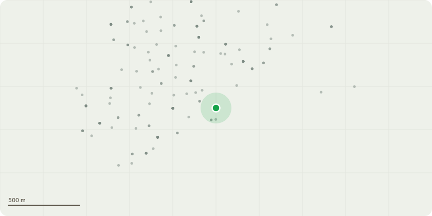
Approximate location
Proposal
T1 ? Horse Chestnut: Fell to ground level. The tree is growing directly on top of a loose, failing stone wall, with roots displacing the structure and voids forming beneath the root plate. The wall no longer provides stable support, and the tree stands on a slope where any failure would directly target the adjacent house and garden. The tree is far younger than the established 1973 Tree Preservation Order and does not form part of the original protected stock. Removal is a proportionate risk-based intervention to prevent further structural displacement and foreseeable harm to property.T2 ? Oak: Repollard to previous pollard points. The tree is an established pollard requiring cyclical management to maintain structural stability. A bracket fungus of the genus Ganoderma is present on the stem, indicating internal decay. Repollarding will reduce lever-arm length and end-weight, mitigating risk while retaining the existing pollard framework. All cuts will be made back to existing knuckles in accordance with BS3998:2010.
Key dates
- Received 25 Aug 2026
- Started 25 Aug 2026
Planning history / related applications
No related planning applications have been identified in the current public OGL dataset.
Inside plotEdge
Go beyond the public record
This page is the public OGL record. plotEdge adds the private intelligence layer for this site - open it in the app to unlock:
- Ownership & title Registered owner and title from HM Land Registry.
- Viability & build potential Site scoring and development upside.
- Constraints Flood risk, green belt, conservation areas and designations.
- Approval signal Planning risk and approval-likelihood analysis.
- Comparable applications Decisions on similar nearby sites, side by side.
- Status alerts Get notified the moment this application changes.
Source: public planning application data from Torbay, reused under the Open Government Licence v3.0. View the council source record. Council documents and drawings are not republished on plotEdge.