Torbay
Torbay/AT/2026/0215
Street Record North Hill Close Brixham
- Reference
- Torbay/AT/2026/0215
- Authority
- Torbay
- Address
- Street Record North Hill Close Brixham
- Status
- Registered
- Received
- 20 Aug 2026
- Started
- 20 Aug 2026
- Source council
- Torbay
- Council source record
- View public record
- Public data licence
- Open Government Licence v3.0
- Record updated
- 21 Aug 2026
- SEO index generated
- 26 Aug 2026
Location
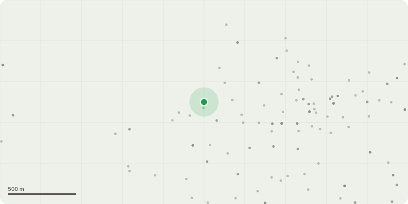
Approximate location
Proposal
Ash T1 stands within the communal frontage of North Hill Close, near residential buildings, parking bays, and pedestrian access routes. The tree?s position creates a high-value target zone where any structural failure would directly affect dwellings and regularly used areas. Under NTSG principles, this level of occupancy significantly increases the consequence of failure.Fraxinus excelsior is now widely affected by Hymenoscyphus fraxineus across Torbay and the wider region. T1 shows declining vitality and structural deterioration consistent with early?mid stage pathogen impact, including progressive crown dieback, sparse foliage, deadwood throughout the crown, brittle branch behaviour, and reduced adaptive growth. These signs are consistent with early?mid stage Ash Dieback. These defects reduce structural reliability and increase the likelihood of partial or whole-tree failure.Given the tree?s location, foreseeable risk, and species-specific decline trajectory, pruning would not provide meaningful long-term mitigation. Removal is the only proportionate intervention. A suitable replacement (e.g., Sorbus aria or Carpinus betulus) can be planted within the frontage to maintain canopy continuity.
Key dates
- Received 20 Aug 2026
- Started 20 Aug 2026
Planning history / related applications
No related planning applications have been identified in the current public OGL dataset.
Inside plotEdge
Go beyond the public record
This page is the public OGL record. plotEdge adds the private intelligence layer for this site - open it in the app to unlock:
- Ownership & title Registered owner and title from HM Land Registry.
- Viability & build potential Site scoring and development upside.
- Constraints Flood risk, green belt, conservation areas and designations.
- Approval signal Planning risk and approval-likelihood analysis.
- Comparable applications Decisions on similar nearby sites, side by side.
- Status alerts Get notified the moment this application changes.
Source: public planning application data from Torbay, reused under the Open Government Licence v3.0. View the council source record. Council documents and drawings are not republished on plotEdge.