Torbay
Torbay/AT/2026/0214
Alta Vista Higher Warberry Road Torquay TQ1 1SD
- Reference
- Torbay/AT/2026/0214
- Authority
- Torbay
- Address
- Alta Vista Higher Warberry Road Torquay TQ1 1SD
- Postcode
- TQ1 1SD
- Status
- Registered
- Received
- 18 Aug 2026
- Started
- 18 Aug 2026
- Source council
- Torbay
- Council source record
- View public record
- Public data licence
- Open Government Licence v3.0
- Record updated
- 19 Aug 2026
- SEO index generated
- 21 Aug 2026
Location
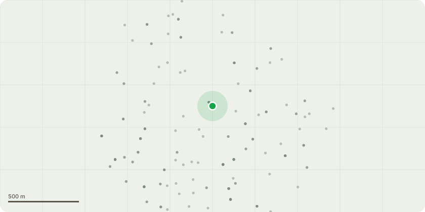
Approximate location
Proposal
Recent emergency approved felling of two older Lime trees in next door neighbour's garden precipitated a check on our own Lime Tree sic.Precautionary Work is requested on Trunk 2 of a large mature Lime Tree in south part of our property. Sketch Plan Lime Tree position refers .The Lime tree has 4 Trunks from ground level - numbering from left to right in provided Photo Lime Tree 1 of 4Trunk 2.Photo Lime Tree 2 of 4 shows vis discoloration separation of Trunk 2 from Trunk 3. Separation >=12cm August 2026. No previous measurement.Photo Lime Tree 3 of 4 shows southern inclination of Trunk 2 and extended southern branch growth giving increasing weight leverage/imbalance.Photo Lime Tree 4 of 4 shows extent of recent years Beefsteak fungus at base of Trunk 2 - width c 25cms August 2026.Condition of Lime Tree discussed on site with Jamie, Trees in Need who has managed bi-annually maintenance on our trees for c 20 years.Fungal infection currently appears to be on Trunk 2 base but Trunk 2 is closely twinned with Trunk 3 at this level. Trunk 3 is however largely vertical and foliage more balanced and therefore less at longer term risk.So Imminent/emergency danger of Trunk 2 failure not likely but following precautionary action suggestedRequested permission for following Action for Trunk 2. Remove all top growth c 6/7 meter level as show in Photo Lime Tree 3 where extended South lateral growth is prominent to provide a largely vertical Trunk with reduced weight /leverage . Continue to monitor Trunk 2 & 3 separation and Fungal growth.
Key dates
- Received 18 Aug 2026
- Started 18 Aug 2026
Planning history / related applications
No related planning applications have been identified in the current public OGL dataset.
Inside plotEdge
Go beyond the public record
This page is the public OGL record. plotEdge adds the private intelligence layer for this site - open it in the app to unlock:
- Ownership & title Registered owner and title from HM Land Registry.
- Viability & build potential Site scoring and development upside.
- Constraints Flood risk, green belt, conservation areas and designations.
- Approval signal Planning risk and approval-likelihood analysis.
- Comparable applications Decisions on similar nearby sites, side by side.
- Status alerts Get notified the moment this application changes.
Source: public planning application data from Torbay, reused under the Open Government Licence v3.0. View the council source record. Council documents and drawings are not republished on plotEdge.