Torbay
Torbay/AT/2026/0182
Street Record Sharkham Drive Brixham
- Reference
- Torbay/AT/2026/0182
- Authority
- Torbay
- Address
- Street Record Sharkham Drive Brixham
- Status
- Registered
- Received
- 22 Jul 2026
- Started
- 22 Jul 2026
- Source council
- Torbay
- Council source record
- View public record
- Public data licence
- Open Government Licence v3.0
- Record updated
- 6 Aug 2026
- SEO index generated
- 7 Aug 2026
Location
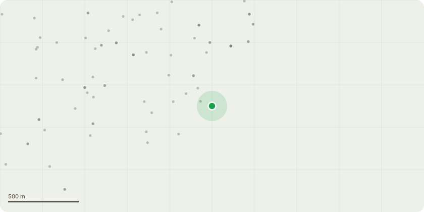
Approximate location
Proposal
QTRA attached. I have summarised below the works we?re looking at.Pruning and Clearance:1. T001 (Sycamore): Selectively reduce and remove lower western branches to ensure at least 2.5 meters vertical clearance over the pavement, complying with statutory highways requirements. Pruning wounds should not exceed 30 mm in diameter. (Priority: 6 Months)2. T003 (Scots pine): Remove lowermost eastern branches to maintain pedestrian access and prevent future conflicts with planting. (Priority: 1 Year)3. T007 (Black pine): Selectively crown raise the eastern side to provide a minimum of 2.5 meters vertical clearance over the pedestrian route. (Priority: 1 Year)Structural Support:1. T002 (Common lime): Install dynamic bracing to support the primary union, allowing for natural movement and compensatory growth. (Priority: 1 Year)Removal of Dead or High-Risk Trees:1. T004 (English elm, dead): Remove due to standing dead condition and proximity to pedestrian routes. Difficult to see where this tree sits on the boundary, but does look to be BTC? (Priority: 2 Years)2. T005 (English elm, dead): Remove for similar reasons as T004. (Priority: 2 Years)3. T006 (Black pine, suppressed): Remove to favor the development of neighboring trees. (Priority: 1 Year)
Key dates
- Received 22 Jul 2026
- Started 22 Jul 2026
Planning history / related applications
No related planning applications have been identified in the current public OGL dataset.
Inside plotEdge
Go beyond the public record
This page is the public OGL record. plotEdge adds the private intelligence layer for this site - open it in the app to unlock:
- Ownership & title Registered owner and title from HM Land Registry.
- Viability & build potential Site scoring and development upside.
- Constraints Flood risk, green belt, conservation areas and designations.
- Approval signal Planning risk and approval-likelihood analysis.
- Comparable applications Decisions on similar nearby sites, side by side.
- Status alerts Get notified the moment this application changes.
Source: public planning application data from Torbay, reused under the Open Government Licence v3.0. View the council source record. Council documents and drawings are not republished on plotEdge.