Tonbridge and Malling
Tonbridge and Malling/26/01862/NMA
Oakhill House 130 Tonbridge Road Hildenborough Tonbridge Kent TN11 9DZ
- Reference
- Tonbridge and Malling/26/01862/NMA
- Authority
- Tonbridge and Malling
- Application type
- Non-material amendment
- Address
- Oakhill House 130 Tonbridge Road Hildenborough Tonbridge Kent TN11 9DZ
- Postcode
- TN11 9DZ
- Status
- Registered
- Received
- 5 Oct 2026
- Started
- 5 Oct 2026
- Source council
- Tonbridge and Malling
- Council source record
- View public record
- Public data licence
- Open Government Licence v3.0
- Record updated
- 6 Oct 2026
- SEO index generated
- 9 Oct 2026
Location
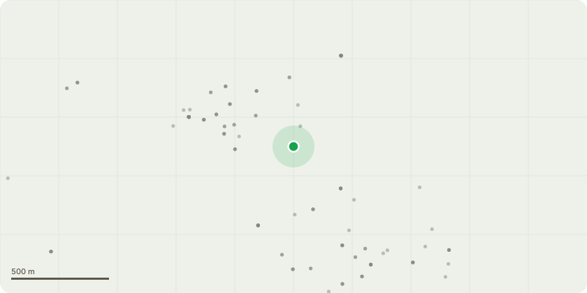
Approximate location
Proposal
Non-Material Amendment to planning permission to 23/03204/FL (Section 73 minor material amendment application to vary conditions 16 (noise insultation) and 26 (approved plans) of planning approval TM/20/02245/FL (Redevelopment of site to include conversion, extension and alteration of existing office buildings and conversion and alteration of Grade II listed office building to create 138 apartments and shared residents facilities, together with 27 houses within the grounds, including access, parking, hard and soft landscaping and areas of open space) (as amended by TM/22/00499/NMA and TM/22/02352/NMA) To remove reference to the internal substation noise insulation and to enable amendments to the apartment design and site layout, including additional residents facilities, changes to fenestration, plot boundaries, plant room, and associated hard and soft landscaping works.) to remove the number of units from the description of development and to insert a condition limiting the number of homes to be delivered
Key dates
- Received 5 Oct 2026
- Started 5 Oct 2026
Planning history / related applications
No related planning applications have been identified in the current public OGL dataset.
Inside plotEdge
Go beyond the public record
This page is the public OGL record. plotEdge adds the private intelligence layer for this site - open it in the app to unlock:
- Ownership & title Registered owner and title from HM Land Registry.
- Viability & build potential Site scoring and development upside.
- Constraints Flood risk, green belt, conservation areas and designations.
- Approval signal Planning risk and approval-likelihood analysis.
- Comparable applications Decisions on similar nearby sites, side by side.
- Status alerts Get notified the moment this application changes.
Source: public planning application data from Tonbridge and Malling, reused under the Open Government Licence v3.0. View the council source record. Council documents and drawings are not republished on plotEdge.